0

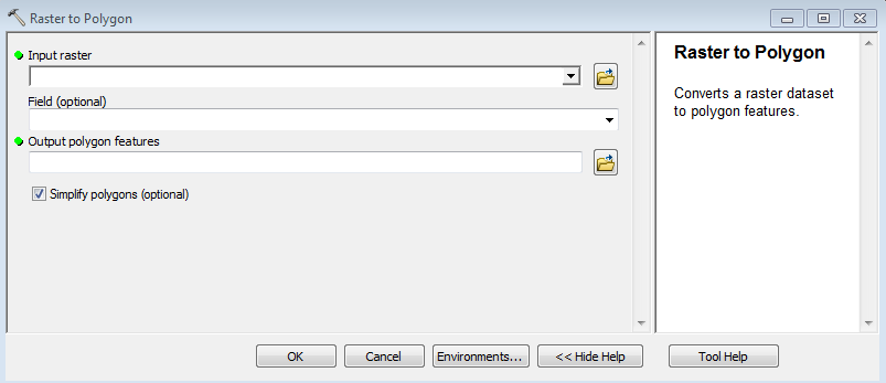
I'm having issues converting a cropland data layer using the conversion tools>>raster to polygon tool. I try to convert the data and select the field "class names" to assign values to the polygons in the output dataset. For some reason, about 95% of the time, the output dataset does not contain the field "class names" in the attribute table. About 5% of the time, it does convert correctly and includes the class names data, but I don't think I'm doing anything different. I need the class names to show up in the output shapefile.

Any suggestions?

I'm using ArcGIS for Desktop.
arcgis raster to polygon

4
  • What Tool are you referring to, Arc-Gis, QGis. Please update your question and the Tags .. Commented Nov 20, 2014 at 15:56
  • what is your input raster format? If you ad that data to a blank session of ArcMap do you see the class name fields?
    – Hornbydd
    Commented Nov 20, 2014 at 17:12
  • Here's one of the file names for the input raster: cdl_30m_r_nc_2013_utm17.tif. The input raster does have the field "Class Names". It's weird, because sometimes (rarely) the data converts with class names on the first try, but mostly it does not. I must be missing something. Commented Nov 20, 2014 at 17:27
  • If you're saving to a shapefile, your field names can only have ten characters. If saving to a geodatabase (or a shapefile for that matter), space is not a valid character. See this help file for more info. Having your input field as "Class Names" may be causing issues. The actual values may also be contributing depending on their data type. Also, Hornbydd might also be referring to the values in the raster when he says format - are they int or float? The tool only works on int rasters.
    – Chris W
    Commented Nov 20, 2014 at 22:53

1 Answer 1

1

Normally with ArcGIS Desktop you cannot have spaces in your field names. Try creating a new field (Add Field GP tool) and copying the "class names" values to the new field (Calculate Field GP tool). Then convert to polygon. If that fails you might try importing the TIF into a file geodatabase and then try converting to polygon.

Your Answer

By clicking “Post Your Answer”, you agree to our terms of service and acknowledge you have read our privacy policy.

Not the answer you're looking for? Browse other questions tagged or ask your own question.