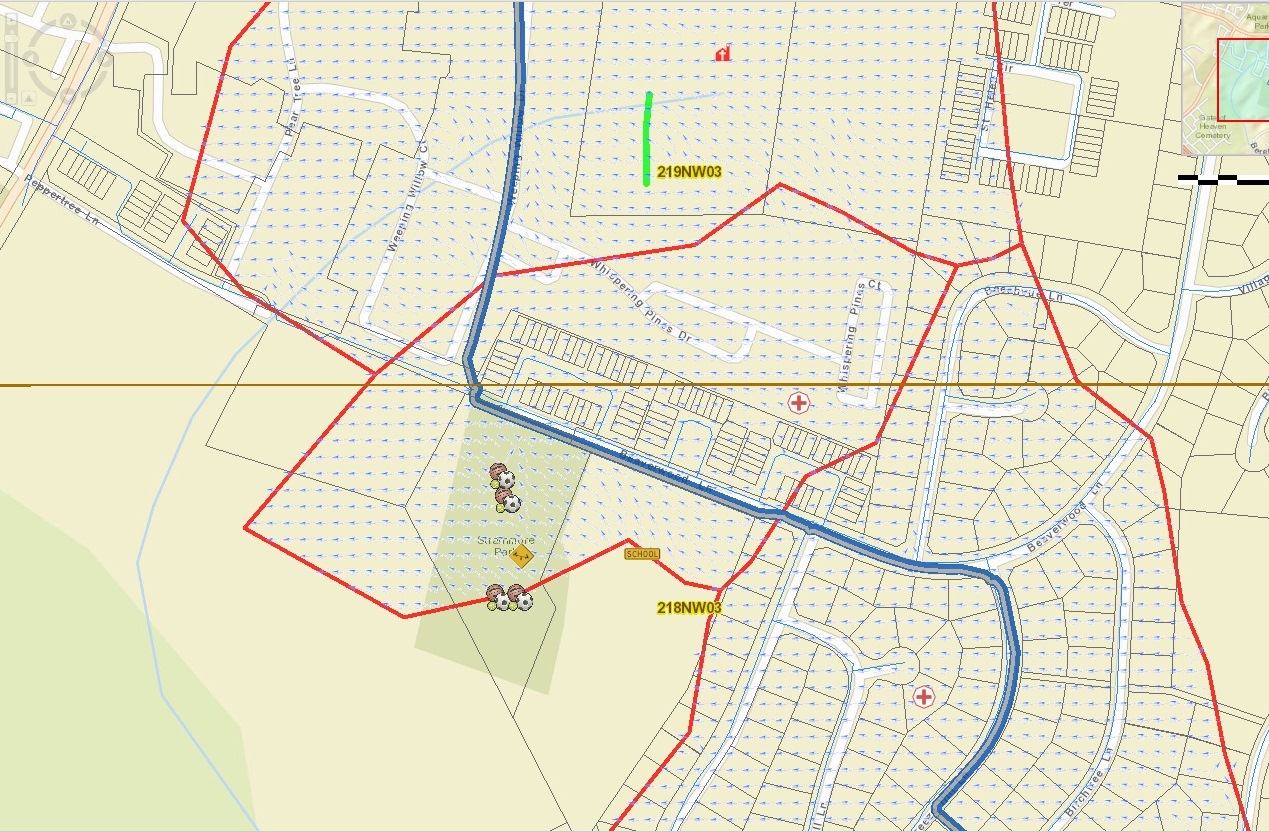
I'm working on a project where I need to show which direction the water would flow from a water pipe in case there is a pipe burst. I also need to show catchment polygons(area affected). This was previously done by someone else and I'm doing it from a fresh start. I've attached a screenshot showing a sampling of the previous work. The blue/grey line is the water pipe, the red outline shows the polygons/area affected and the blue arrows show the flow direction.
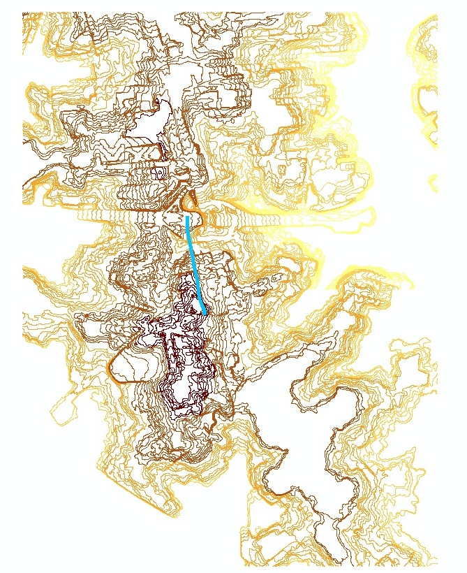
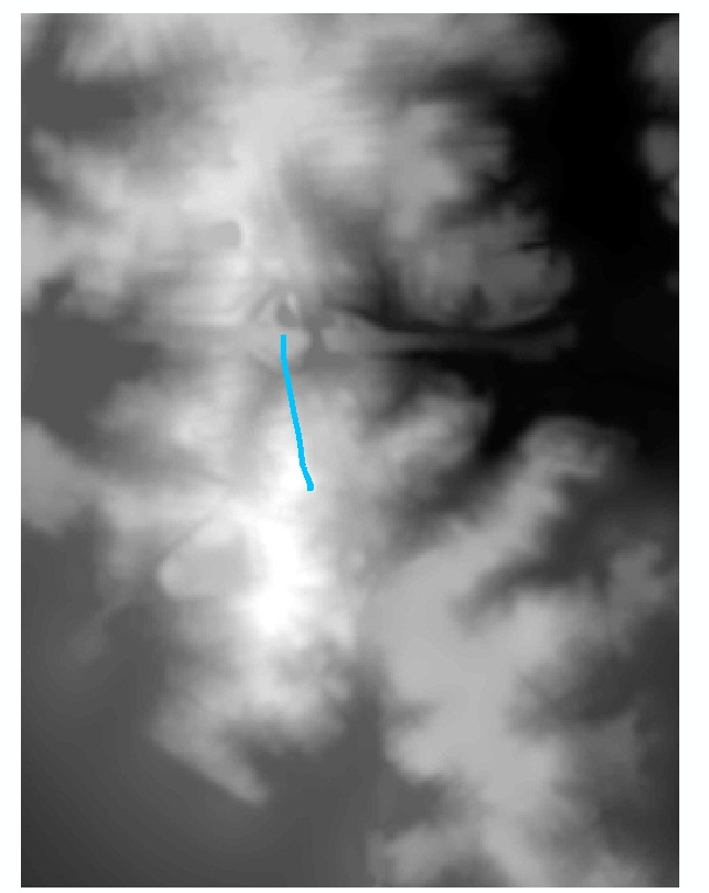
I'm using ArcGIS Desktop 10.2 and Spatial Analyst. I have access to contour line data as well as the water pipe data. I've done a little bit of googling and have seen a lot of information on watersheds, however, I think this project is the opposite of watershed analysis where instead of showing drainage towards a water channel/pipe, I need to show drainage away from a water channel/pipe. I'm quite familiar with ArcGIS Desktop but pretty green to Spatial Analyst. I can perform watershed analysis using various tutorials online but as I said, I think my analysis requires showing the opposite of watershed analysis, I think. I need some help being pointed in the right direction as far as steps/tools to use.


