I am not sure what exactly is causing hiccups for me - how I processed the data (removing the white edges in 3rd party software), the bit depth (8bit), the file format (png to support transparency), the number of bands (4 for the alpha) or something I am not thinking off.
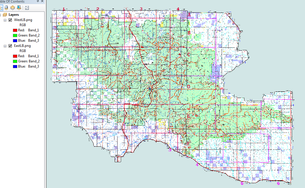
This is what I want, although it can't be 2 layers.

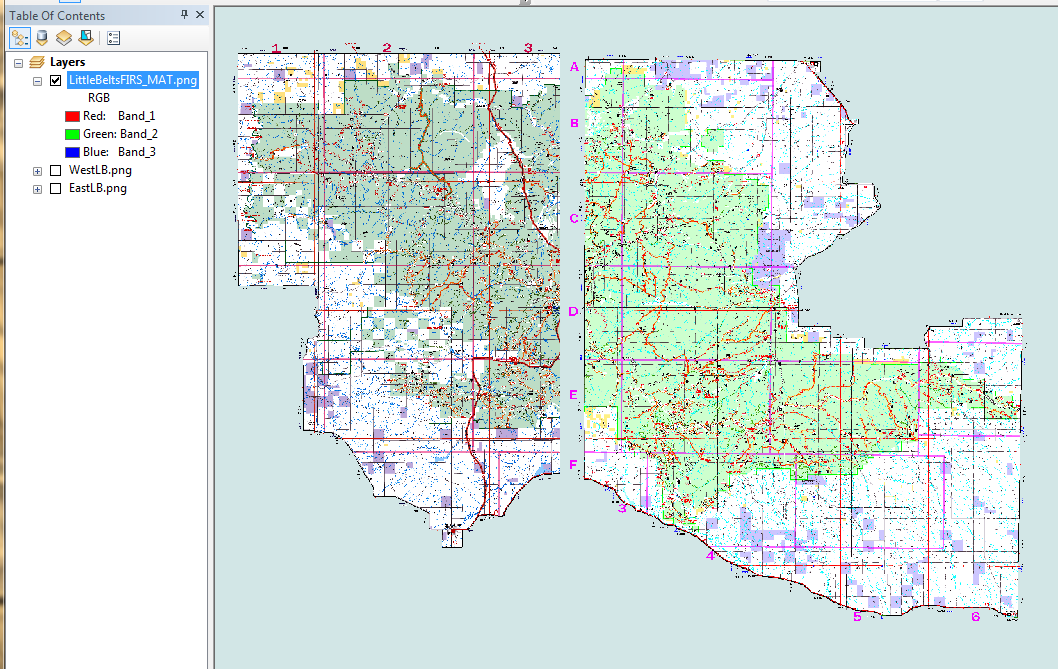
This is the closest I have come to combining them properly. This is a Mosaic operator of First image added.

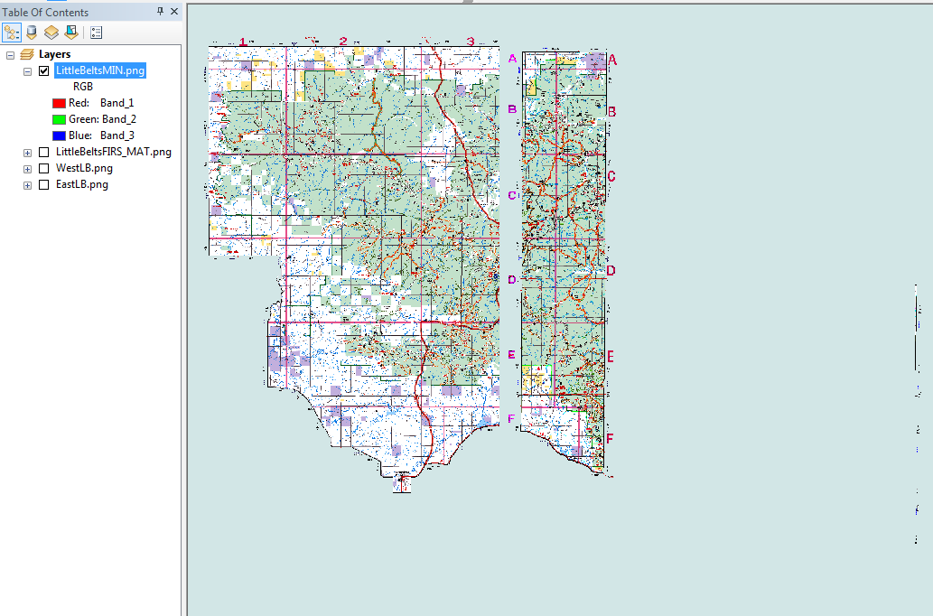
I thought this would work since the transparent pixels have values of 255 255 255 0, however the Mosaic Operator of Minimum was way off.

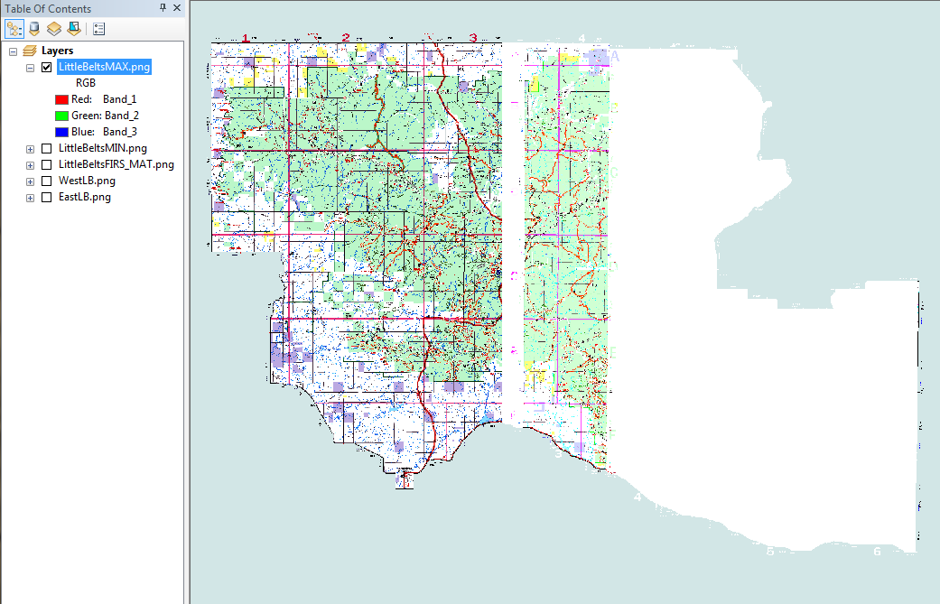
Then I thought - why the heck not and did a Maximum operator as well.

All of these are not usable to me. Can someone please help me understand how to get pixels to not overwrite legitimate data with NoData values while mosaicing? Also I could use any pointers to information about how to remove the collars around imagery like this.
Limitations --- I cannot use the Display Background Value because that removes white from the background of the maps too. I also can't use Mosaic Dataset functionality (oh how I wish!) because of licensing limitations.
