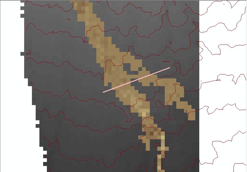
I have run a hydraulic model and I got a result of depth raster of the sediment (the brown one). I want to sum the sediment raster with the topography raster (the black one) so I will have the elevation of riverbed after the sediment depth is applied.
 My goal is to have a cross-profile of the river after the sediment depth is applied onto the initial riverbed elevation. I used to use Stack Profile tool, and use the help of a line shapefile to sign the location of cross-profile. The problem is that the sediment raster's extent is not large enough to cope with the topography raster so when I created a cross-profile of them, both raster did not align correctly.
What steps should I take if I want to expand the sediment raster's extent and put null values in the expansion cells?
Do you have any idea of what I should do in order to get both cross profiles of sediment raster and topography raster on exact place (for example: the pink line)?
