6

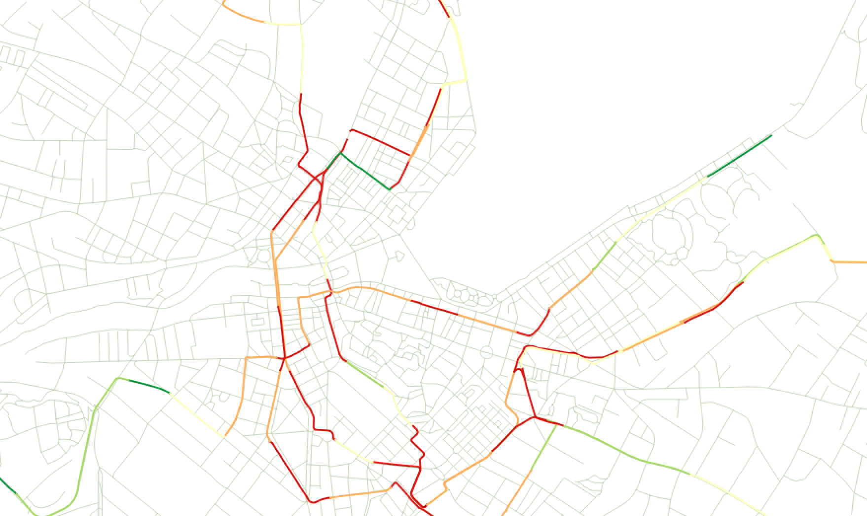
I have several shapefiles representing bus lines with different colors for each segment, however, because the lines are exactly superposed, only the shapefile on top can be seen. Is there a way to display the lines underneath for example side-by-side on these parts of segments where several lines converge (there might be 4 or 5 of them)? The polylines are made up of series of segments.

I know there are some tools in ArcGIS, but I'm using QGIS 2.8.0

enter image description here

3

1 Answer 1

4

In QGIS 2.8.0 you can do that with the offset option in the Style Layer Properties. In my example with three polylines (they are exactly superposed too):
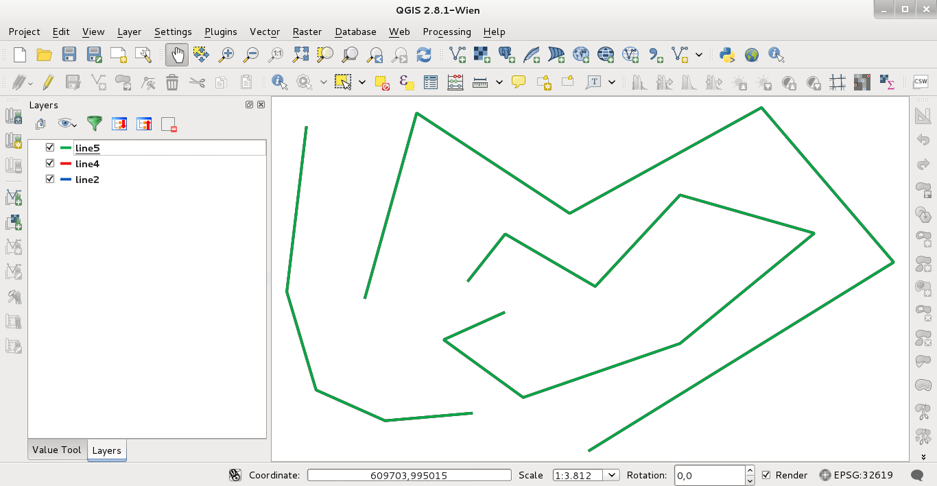
enter image description here

Click in "Simple line" of line2 to display "Offset" option (I set 1 mm):
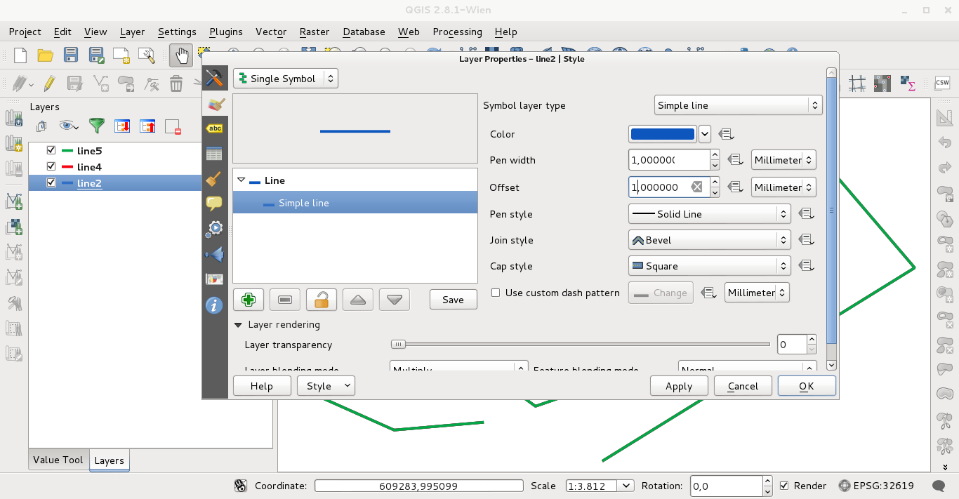
enter image description here

Click in "Simple line" of line5 to display "Offset" option (I set -1 mm):
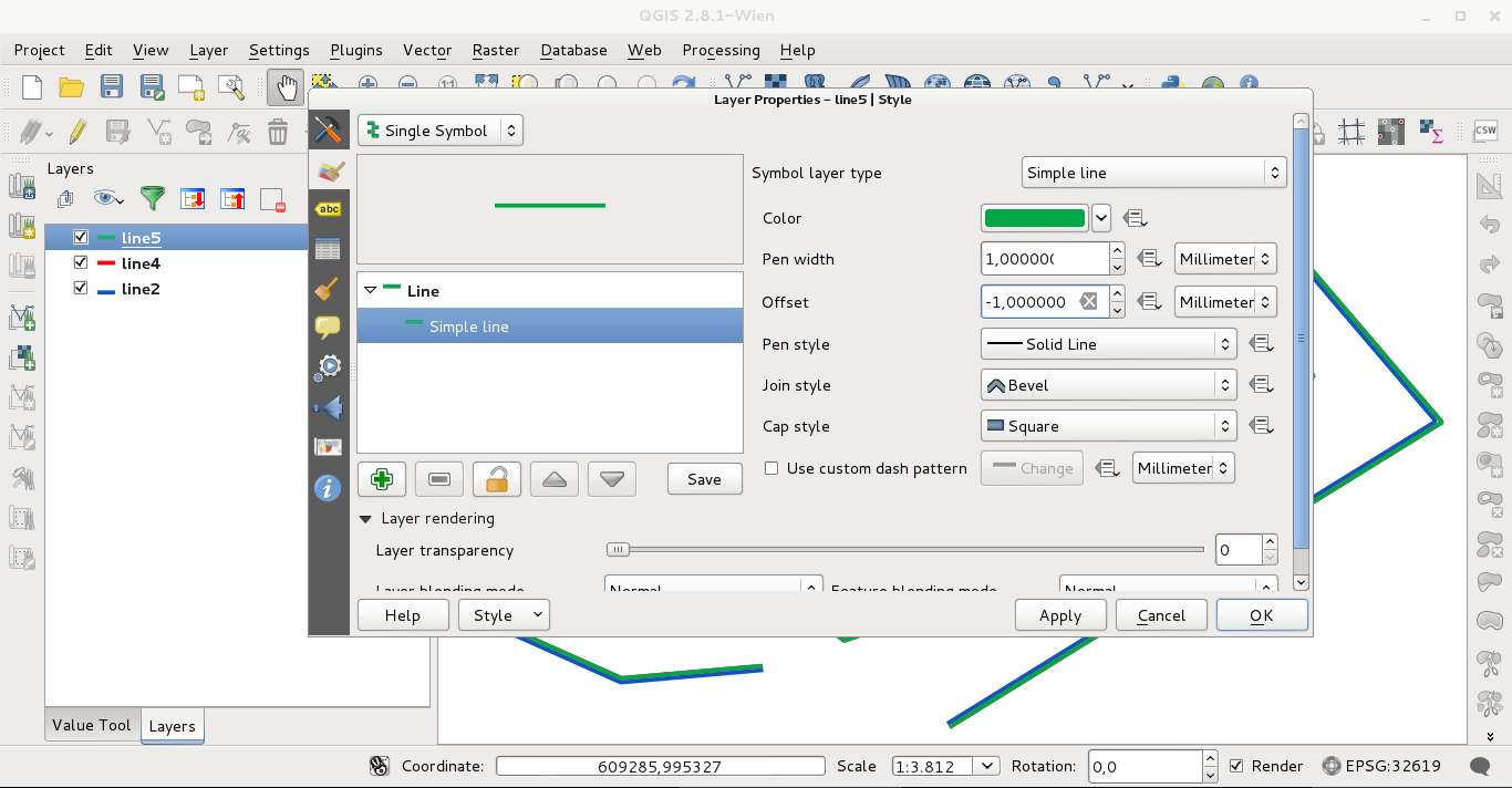
enter image description here

The result obtained (Offset of line4 unchanged; 0 mm):
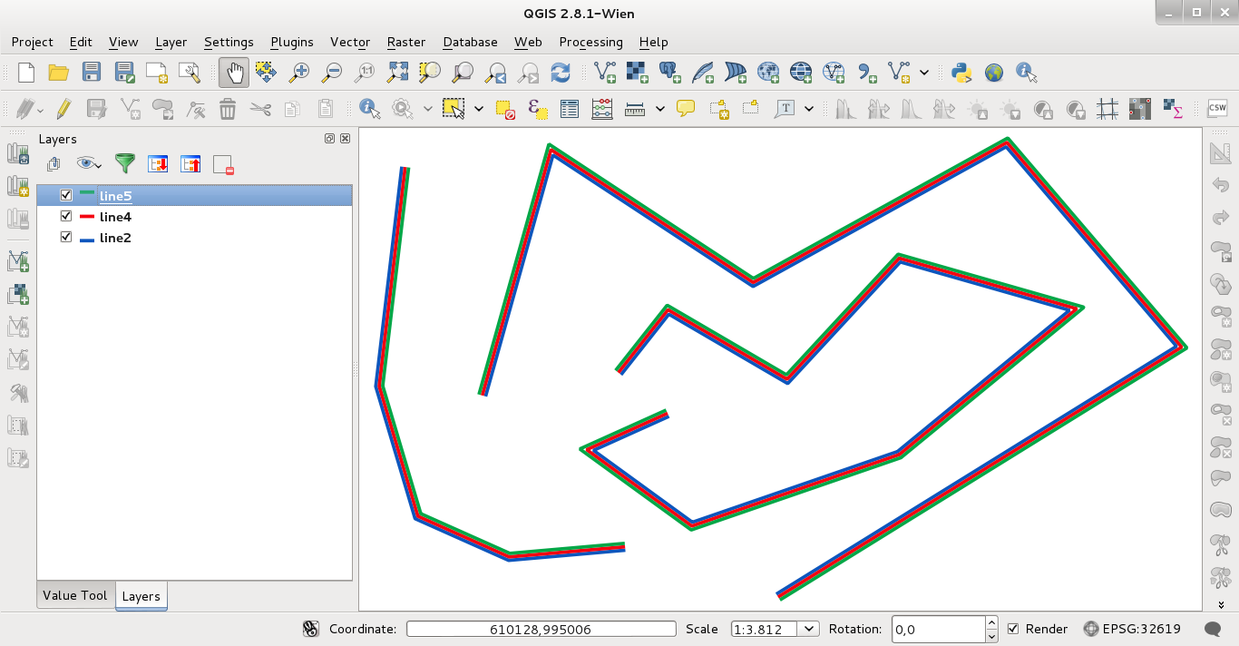
enter image description here

Editing note (answering to alpha-beta-soup comment):

With the next code, executed in the Python Console of QGIS, I have the same result:

from PyQt4.QtGui import *

mc=iface.mapCanvas()

layers=[]
renderer = []

n = mc.layerCount()

symbol = range(n)

symbol[0] = QgsLineSymbolV2.createSimple({'color':'green',
                                       'width':'1',
                                       'offset':'1.0'})

symbol[1] = QgsLineSymbolV2.createSimple({'color':'red',
                                       'width':'1',
                                       'offset':'0.0'})

symbol[2] = QgsLineSymbolV2.createSimple({'color':'blue',
                                       'width':'1',
                                       'offset':'-1.0'})


for i in range(n):
    layers.append(mc.layer(i))

for layer in layers:
    renderer.append(layer.rendererV2())

for i in range(n):
    renderer[i].setSymbol(symbol[i])

iface.mapCanvas().refresh()

for layer in layers:
    iface.legendInterface().refreshLayerSymbology(layer)
2
  • 2
    Problem I foresee with this is it is very manual, and bus routes are very many. Is there a way to access a field to control the offset? Ideally, there'd be a way to offset only in the presence of an overlap. It'd be possible to write code to consider such a condition - but it comes back to a need to use a field to control offset. Commented Apr 7, 2015 at 2:31
  • 1
    @alpha-beta-soup I wrote some code for using in the Python Console of QGIS.
    – xunilk
    Commented Apr 7, 2015 at 9:38

Your Answer

By clicking “Post Your Answer”, you agree to our terms of service and acknowledge you have read our privacy policy.

Not the answer you're looking for? Browse other questions tagged or ask your own question.