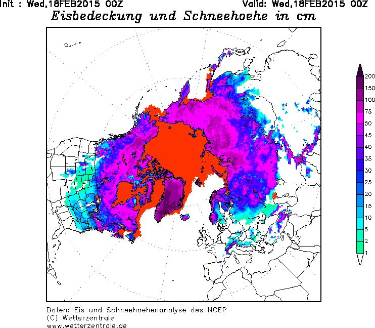
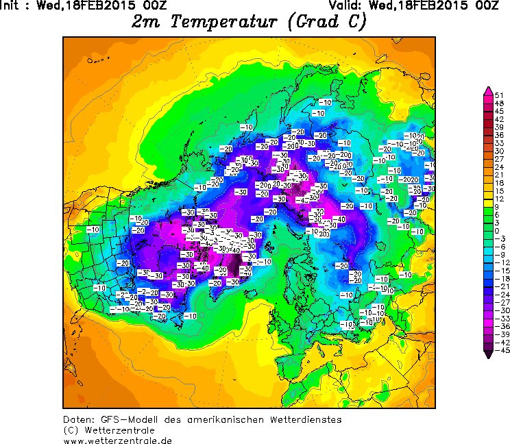
I'm trying to georeference two maps from wetterzentrale in ArcGIS Desktop.
In what coordinate system are those maps created?


As commented by @mkennedy a guess might be:
north pole-centered stereographic with a central meridian/longitude of origin around -20
Otherwise I think you will be best to try and contact the author(s) of the maps.