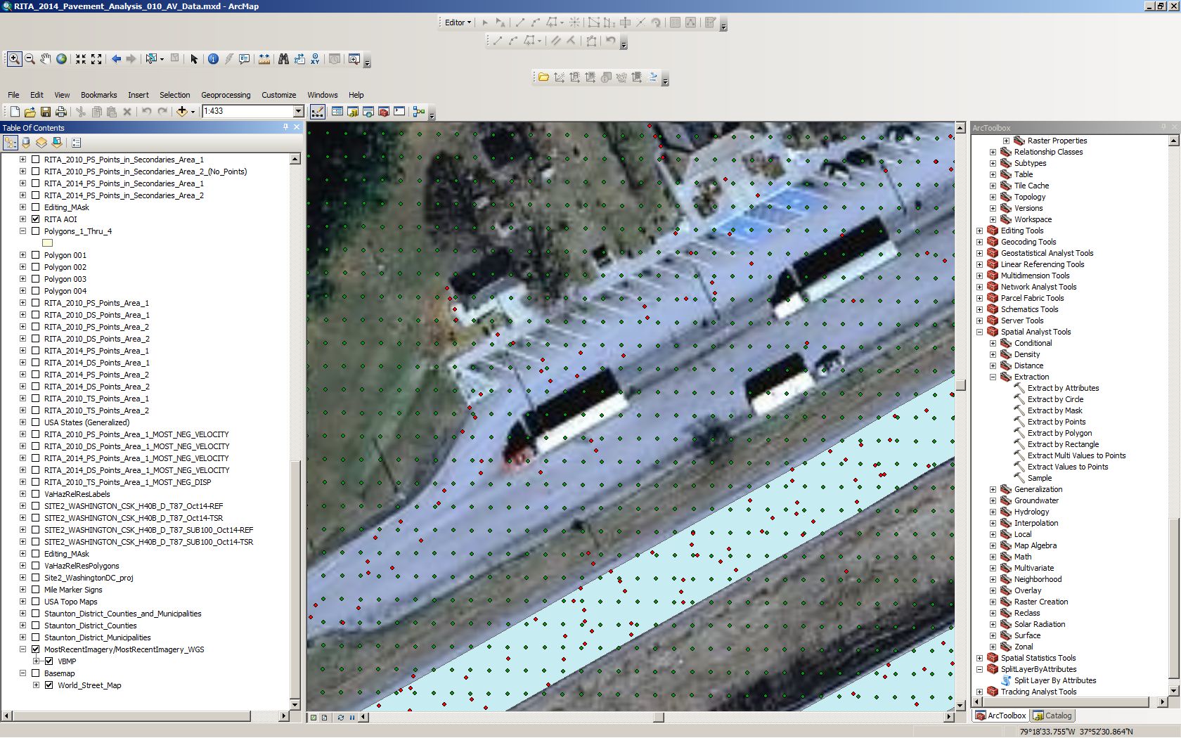
In the image below, the green points are associated with radar wave amplitude data. They're generated from RasterToPoint, so they're at the centroid of each pixel and have only the value of the amplitude at that point. The red points are a associated with surface motion at that location, so they have values for displacement, acceleration, coherence, etc.

What I want to do is associate each red point (motion) with its nearest green neighbor (amplitude). The resulting dataset will have the attributes of both datasets - except that for green points not near a red point (this will be most of them) the data for the motion attributes will simply be empty.
I suppose the better way to do it is to snap the datset with the smaller number of points to the datset with the greater number of points.
I am using ArcGIS 10.2 for Desktop.
