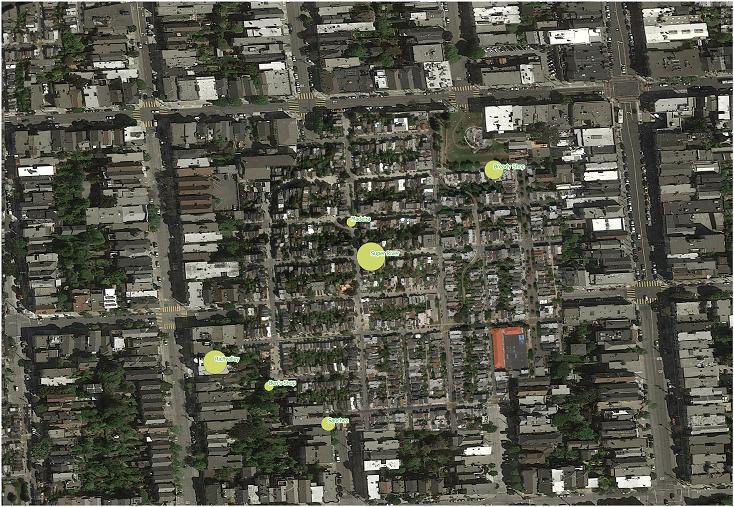
I used the qgis2web plugin to generate a set of static HTML files out of my QGIS project. This is how my layers look in QGIS:
So, there is only one layer of points and a basemap.
Very easily I converted this to a set of HTML files using qgis2web. Here is how the structure of the directory with its produced files looks like:
│   index.html
│
├───layers
│       layers.js
│       Supermarkets.js
│
├───resources
│       Autolinker.min.js
│       ol.css
│       ol.js
│       ol3-layerswitcher.css
│       ol3-layerswitcher.js
│
└───styles
        Supermarkets_style.js
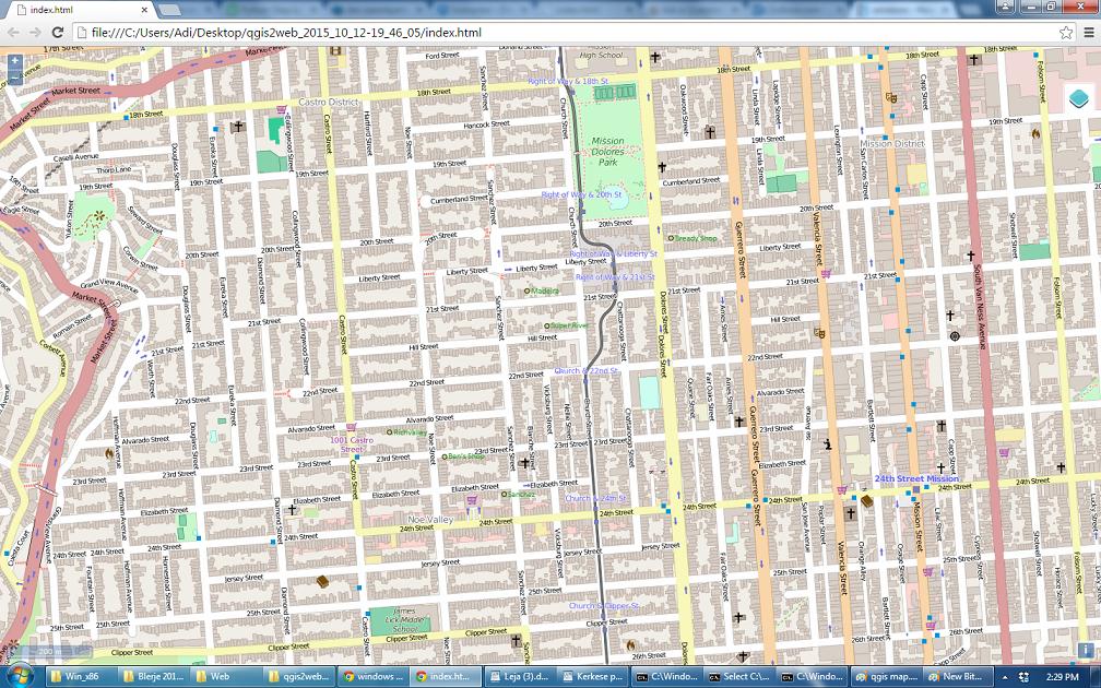
Opening the index.html on a browser displays this good looking map:
The map has retained some parts from the style defined in QGIS such as the color of the points and the labels, but it has lost the graduated symbols of the points as you can see - the point circles have all the same size in the HTML page.
So, the question is obvious: Does anyone know how to preserve this part of the styling when producing web maps with the qgis2web?
Maybe by appending a SLD style file to some javascript code? If yes, where and how do I do that?


