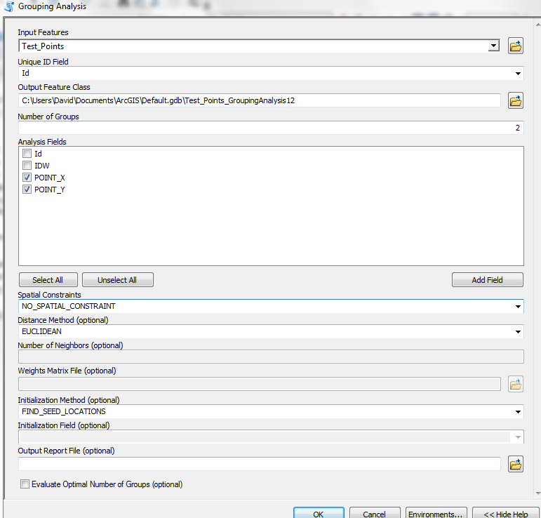
I want to extract averages from raster data that fall within buffer zones around a village point.
The problem is that the villages are pretty close together in some places and I need to come up with a methodology to group villages and their respective buffers to create groups.
Then I want to look at averages in these zones using the zonal statistics tool.
I am open to another way of doing this - any suggestions welcome!

