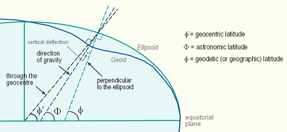
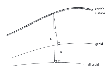
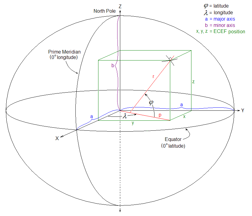
How to find gravity normal by ECEF or GPS coordinate of point?
Is it the same as normal to elipsoid?
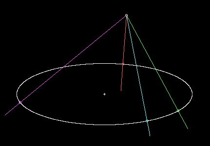
Is this ordinary way to calculate normal to ellipse?
I'm not quite sure which altitude is GPS use, but it seems if it use geodetic latitude it already perpendicular to elipsoid.

To compute normal(I want it in ECEF) I need 2 points, 1st point I get directly from GPS coordinate converting it to ECEF and 2nd point I need to compute.
For example point that have Z=0.
code :
Vec4d ecef= GPStoECEF(gps);

double Radlat = gps.latitude * (pi / 180); //assume we have geodetic latitude
double Radlon = gps.longitude * (pi / 180);

double X1= ecef[0];
double Y1= ecef[1];
double Z1= ecef[2];

double c= sqrt(X1*X1+Y1*Y1);
double h= c-Z1/tan(Radlat);

double X2= h*cos(Radlon);
double Y2= h*sin(Radlon);
double Z2= 0.0;

Vec4d ecef_normal(X2-X1,Y2-Y1,Z2-Z1,1.0);
Are my conclusions correct?
What I'm generally trying to do is to determine tilt from gravity normal of some tall object (like Leaning Tower of Pisa) having GPS positions of top point and ground point.


