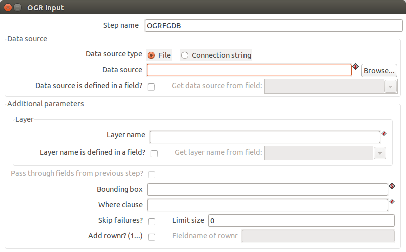
I would like to use GeoKettle to transform my file geodatabase data into something else (most likely postgis). Admittedly I am very new to ETL but I am absolutely stumped when I try to define an input as file geodatabase. "ogrinfo --formats" list file geodatabase as an option.
The reason I want to use the ETL is my long term solution will have to do with some schema changes (field names and probably types ) and with that mapping attributes to the new layer.
All of that is fine and good except I can't get out of the gate with using a file geodatabase as my input.
Ubuntu 14.04
Geokettle 2.5

