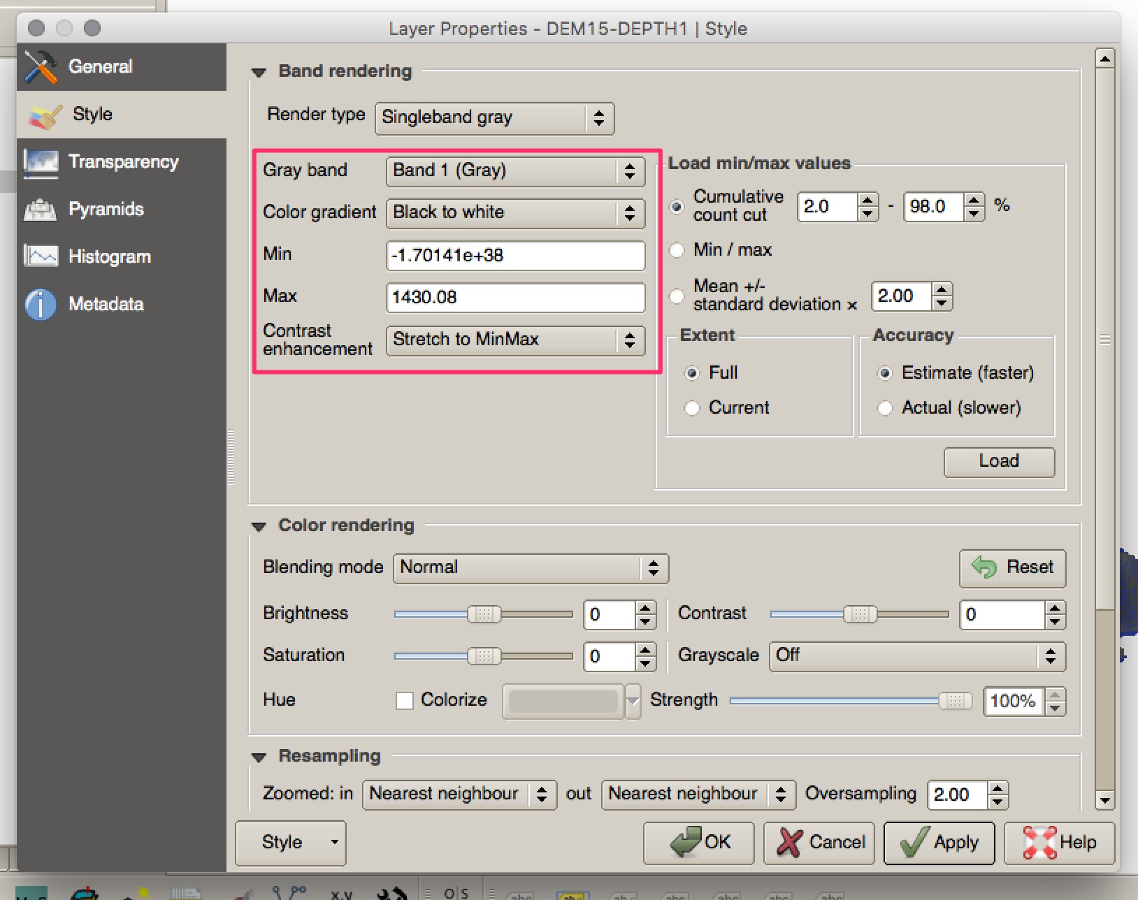
It looks like your raster has some very odd low values associated with it:

These values are clearly not related to the rest of the data and they fall along the very edges of the dataset. Not even setting the lower value to 0 or copying the lower value into the additional No Data value seemed to work. It is almost certainly this that is causing the contour tool to fall over.
I managed to successfully contour the dataset by using raster calculator to eliminate values over 0 (you could set this to whatever you wanted) and then run the contour on this raster.
To do this:
Open the Raster Calculator and enter the code:
(Raster Name > 0) * Raster Name
This selects all raster pixels of value > 0 and sets their value to 1; then it multiplies this value of 1 by the original value of the raster. Values of <= 0 are set to zero and end up as zero in the final calculation.
Run the contour on the new raster that is created by the calculator - 5m contours calculated below:


