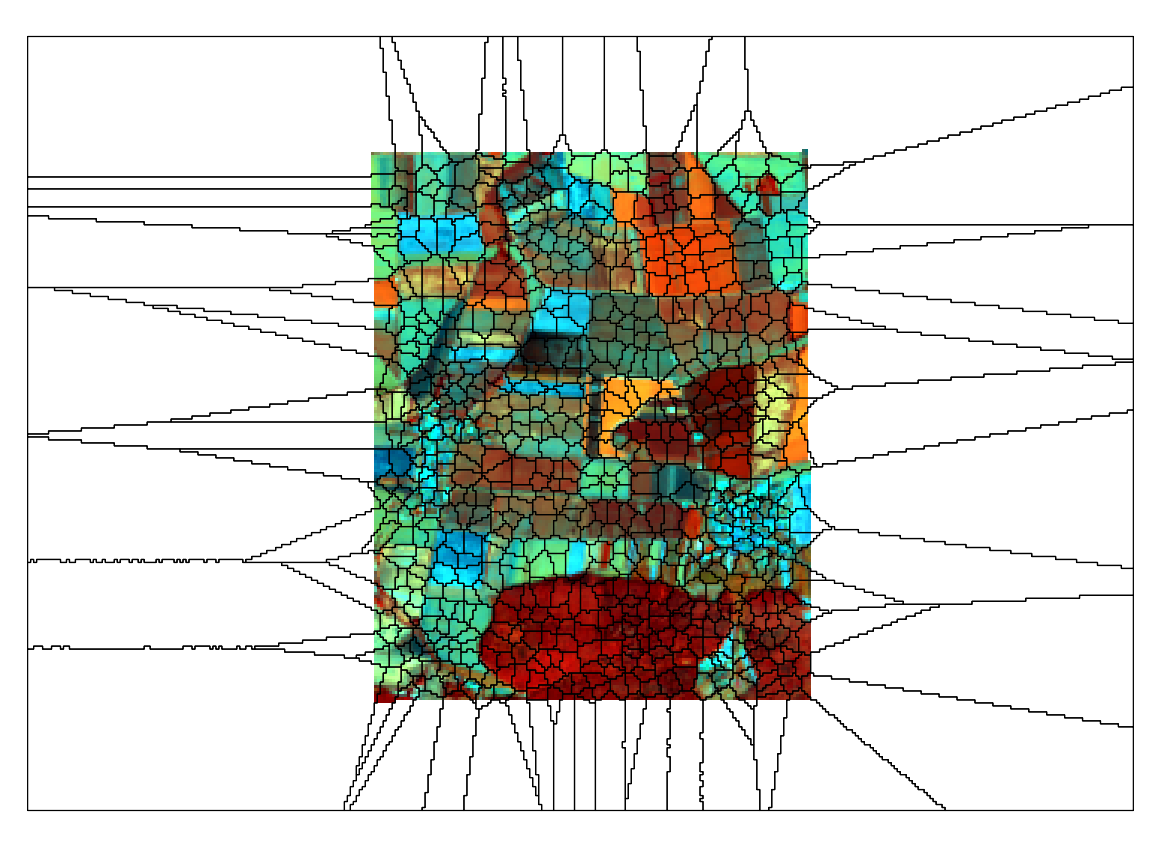
Every time I use the Object Based Image Segmentation with Landsat 8 data I get a segmentated image which looks like a spider's web. The image contains no 0 values. Anyone has a idea how to fix this?
1 Answer
I think this is happening because of the extent mismatch --- the extent of raster is larger than your area of interest. In the posted image, white outboard area is filled with NoData cells.
SAGA has a Crop to Data tool to fix it, by cutting NoData margins off and fitting the layer extent. In SAGA GUI - Tools pane, it is located under Grid | Tools. (From the menu Geoprocessing | Grid | Grid system).
