I am developing an android mapping app using OSMDroid. I am attempting to use free custom aerial imagery, completely independent of Google and/or Bing APIs. Please, do not propose any solution that uses their mapping APIs.
I have managed to display satellite imagery by including this code:
mapView.setTileSource(TileSourceFactory.MAPQUESTAERIAL);
but Tile Server does not offer tiling above 11 zoom and I need to get closer than that (say 15-16?).
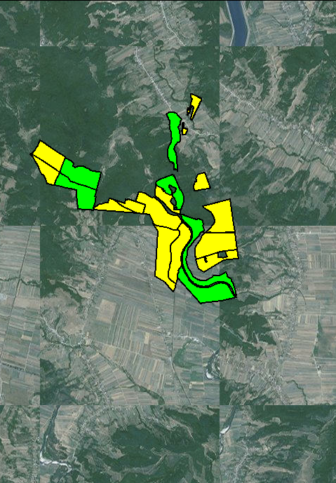
Using ArcGIS tile server, I manage to display satellite imagery even to 16 layer zoom level, but tiles are shuffled around.
mapControl = (MapController) mapView.getController();
mapControl.setZoom(11);
String[] urlArray = {"http://server.arcgisonline.com/ArcGIS/rest/services/World_Imagery/MapServer/tile/"};
mapView.setTileSource(new XYTileSource("ArcGisOnline", null, 0, 18, 256, ".png",urlArray ));
Basemap tiles are shuffled and do not correspond to lat/lon, but overlay is ok.

