I am trying to export images from the QGIS print composer, the exported image has a basemap that is loaded from an XML file following this questions method. The export doesn't look at all like the image I see in the print composer see below and I'm trying to understand why.
What I'm trying to do is simply make a decent looking map without obvious tiling with readable labels. Perhaps I have to use a satellite only image and remake with my own labels. The map is a HERE nokia hybrid map
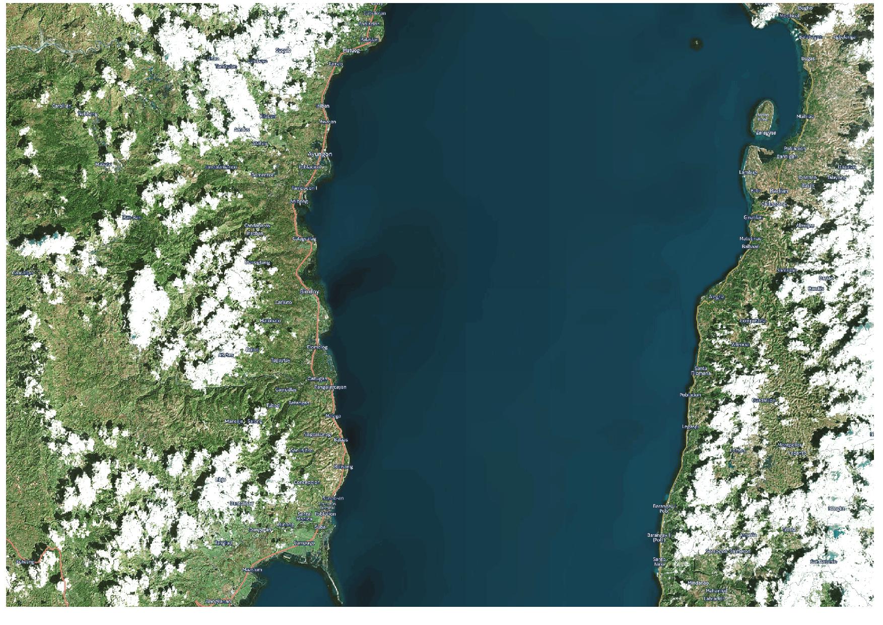
This is a jpeg at 150 dpi, note the tiny labels in comparison to the screenshot at the bottom
 .
.
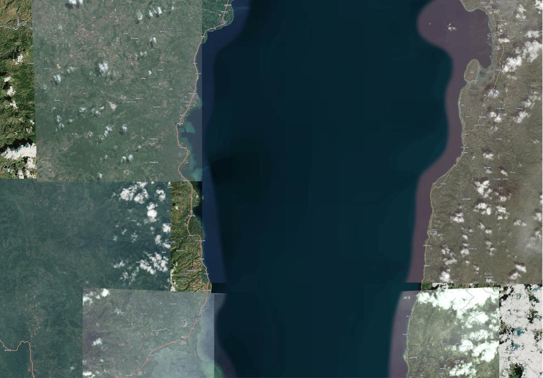
This is a png export at 300 dpi, which is standard for the print composer, note the labels, and tiles.

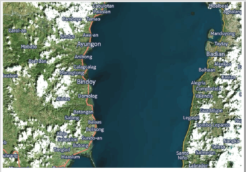
Finally, this is a screenshot of the map as it looks in the print composer with the labels readable at this zoom scale.

