You can use QGIS and free vector data from Natural Earth to do this. I would recommend 1:10M scale Admin level 1 download "Admin 1 - States and Provinces" from this page. Irrespective of which tool you want to use, that's probably the easiest source for the state outlines.
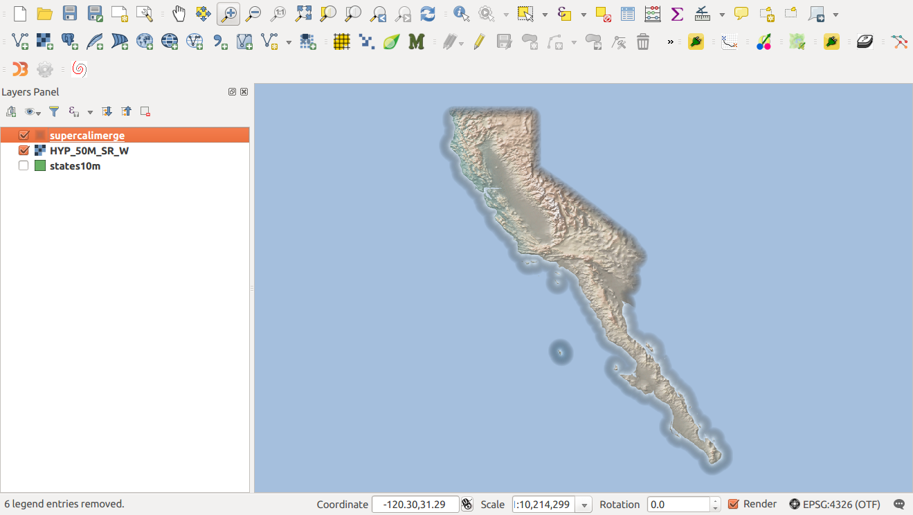
In QGIS, select just the states you want to join. I assumed California, Baja California and Baja California Sur. Then save the layer as a new shapefile. Make sure you tick the box 'only selected features'. If you don't you'll end up with just a copy of all of the whole worlds' provinces... )
Select this new layer, and use Buffer (Vector>Geoprocessing Tools>Buffer(s)) with a value of 0.0001 (degrees) . Make sure that the "dissolve buffer results" checkbox is checked. This expands the state outlines by a tiny amount, so that they overlap, then merges them into your new superstate. Doing it this way removes the joins, which makes styling the map easier too :)
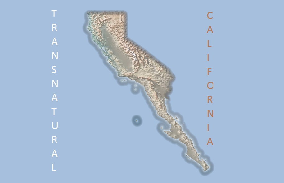
Here's one I made in QGIS, to give you rough idea what can be done. For this I used the hypsometric cross tint - also from NaturalEarth.

The superstate was styled as transparent fill. This lets the image show through. Also used 'Inverted polygons' and 'Shapeburst fill', using a colour gradient (from Transparent to Blue). That's what gives the 'halo' effect, which also serves to hide neighbouring states.
One of the downsides to this (as Diffusion_net pointed out) is that it can make UniCalifornia look like an island. You can experiment with the shapeburst fill settings to include more or less of the neighbouring states to give some context, by changing the blur distance.
If you're more at home with Illustrator/InkScape, you can always export the merged state map to SVG (using Print Composer) and edit it in a graphics package.


