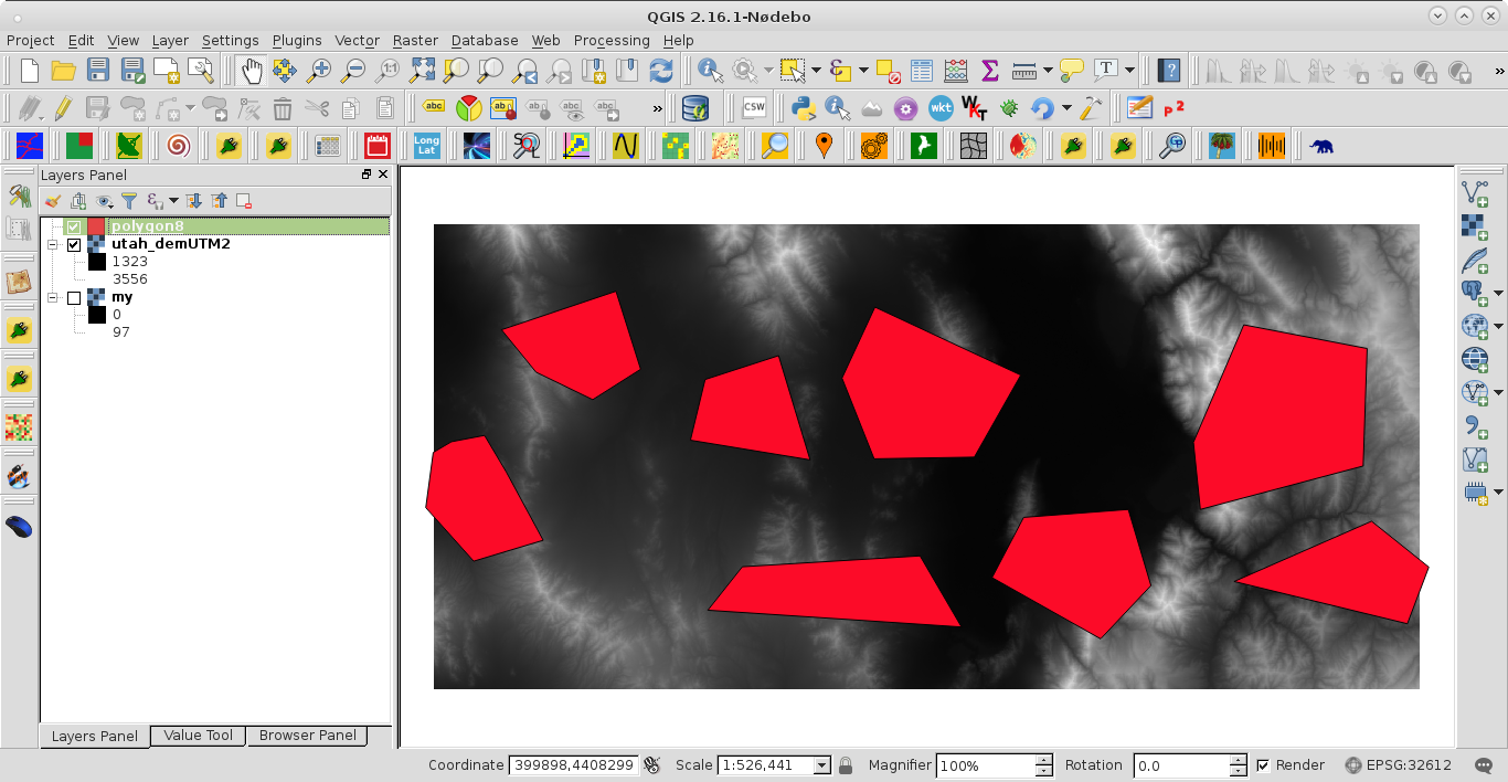
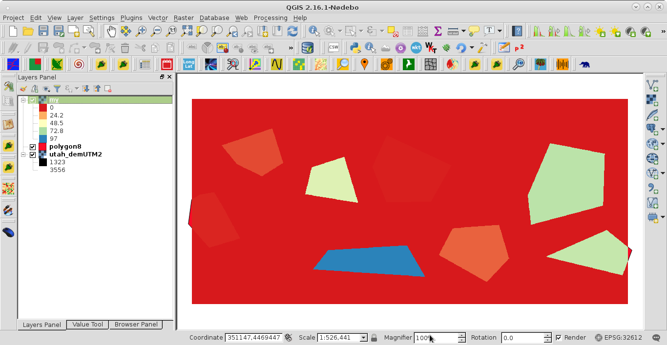
I am trying to rasterize a shapefile, and write values from a specific column of the shapefile into the resulting GTiff.
Here is what I've done so far, but that only creates a GTiff of zeros.
from osgeo import gdal
from osgeo import ogr
from osgeo import gdalconst

ndsm = 'base.tif'
shp = 'polygon.shp'
data = gdal.Open(ndsm, gdalconst.GA_ReadOnly)
geo_transform = data.GetGeoTransform()
source_layer = data.GetLayer()
x_min = geo_transform[0]
y_max = geo_transform[3]
x_max = x_min + geo_transform[1] * data.RasterXSize
y_min = y_max + geo_transform[5] * data.RasterYSize
x_res = data.RasterXSize
y_res = data.RasterYSize
mb_v = ogr.Open(shp)
mb_l = mb_v.GetLayer()
pixel_width = geo_transform[1]
target_ds = gdal.GetDriverByName('GTiff').Create('my.tiff', x_res, y_res, 1, gdal.GDT_Byte)
target_ds.SetGeoTransform((x_min, pixel_width, 0, y_min, 0, pixel_width))
band = target_ds.GetRasterBand(1)
NoData_value = -999999
band.SetNoDataValue(NoData_value)
band.FlushCache()
gdal.RasterizeLayer(target_ds, [1], mb_l, options=["ATTRIBUTE=hedgerow"])
How do I get the values of column 'hedgerow' into the GTiff?
In addition, I have to use the option 'ALL_TOUCHED=TRUE' with RasterizeLayer. How does the gdal.RasterizeLayer call has to look with both options in it?
Edit: using gdal.RasterizeLayer(target_ds, [1], mb_l, options=["ATTRIBUTE=hedgerow", "ALL_TOUCHED=TRUE"]) runs without any problem, yet I only get zeros.


target_ds = Noneat the botton of your code (see my answer).target_ds = Nonedo?