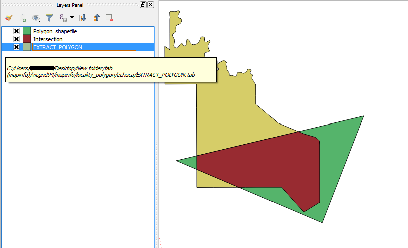
I'm recently experimenting with QGIS at work (a poor charity who is struggling along with MapInfo v8).
As all our layers are in .TAB format and I was wondering if you can use the geoprocessing tools to analyse this data in QGIS or if you have to convert to .SHP first?
Also, if I was being difficult, could I use the intersect tool to see how much of a .SHP polygon was inside a .TAB polygon?
I didn't work when I tried, but this may be due to me missing something else.

