How I can to draw using GDAL in python or c a polygon shapefile shape.shp with a GeoTIFF as background background.tiff file?
Both files are in the same projection.
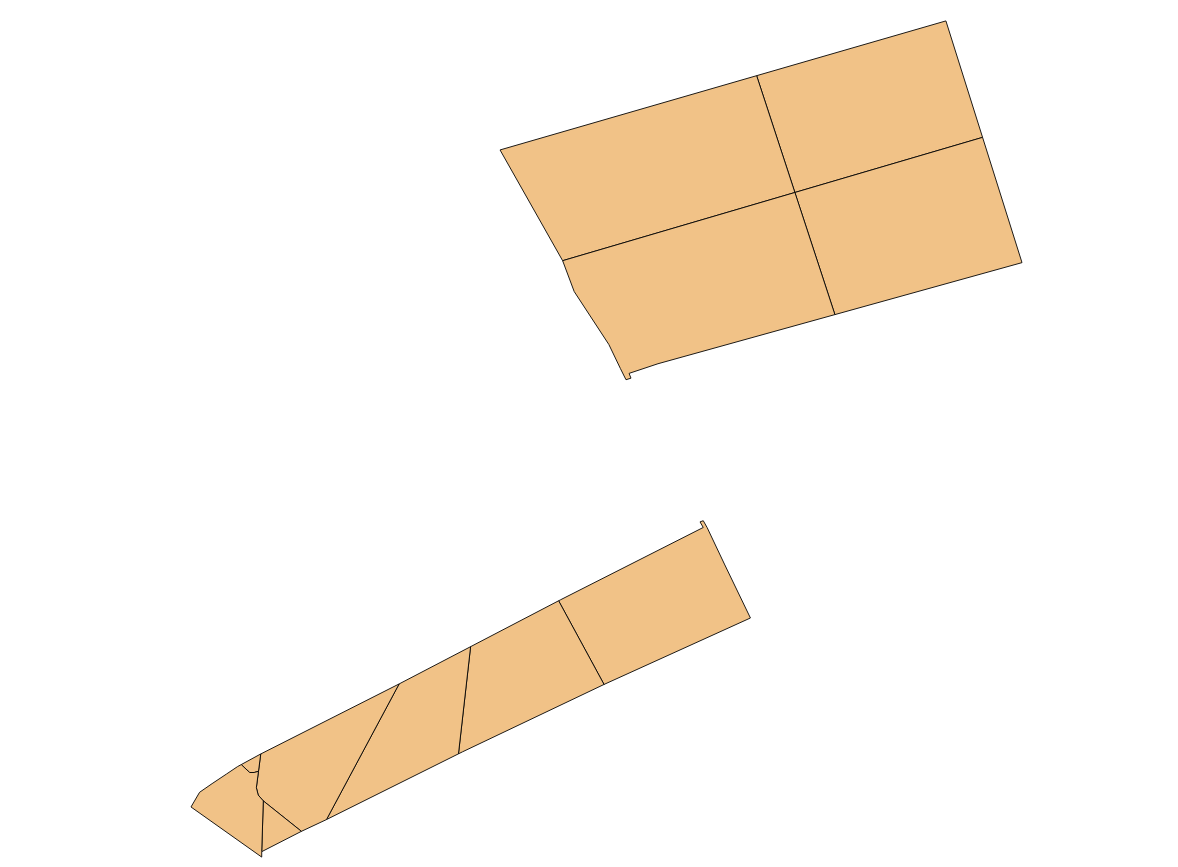
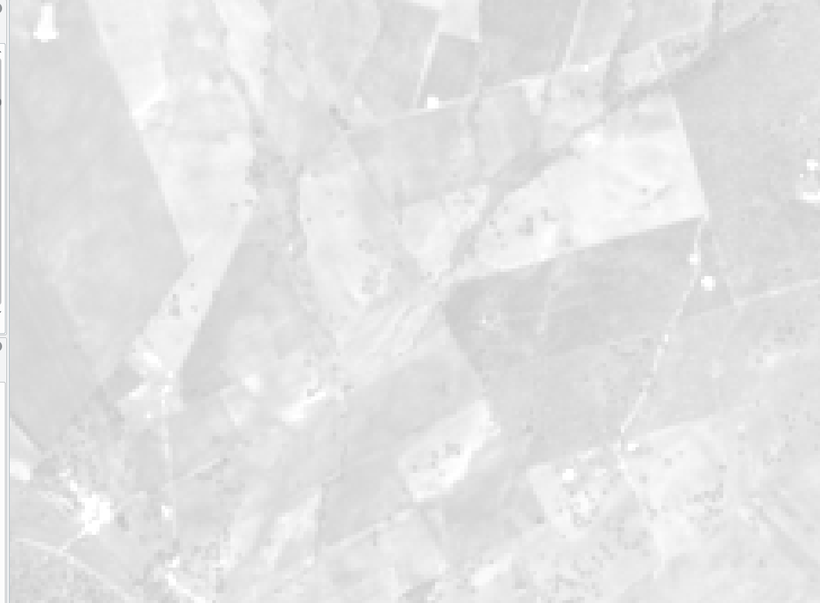
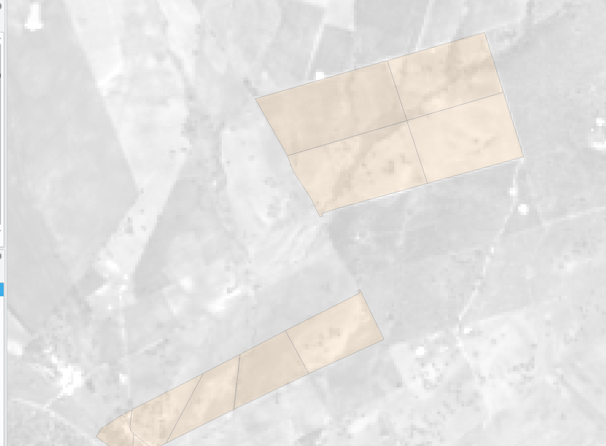
The result could be a PNG, JPEG or whatever. To clarify I'm going to put screen shoots of the done with QGIS. First one is the shapefile, second the GeoTIFF, and finally the union.


