6

I am working with QGIS and in particular with river basins.

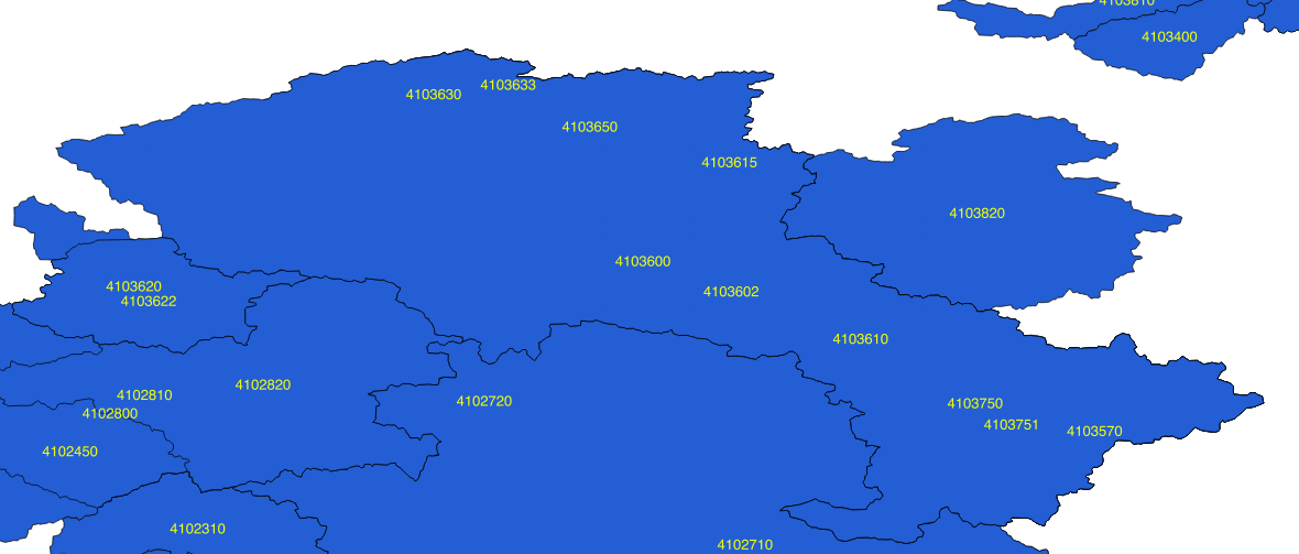
If you see my picture below, each label shows a particular basin but actually only the biggest is shown (because I think its area covers the areas of the smaller ones).

enter image description here

e.g. 4103600 is the largest basin and its boundaries are shown correctly, but within it there are 7 more nested basins (i.e. 4103631, 4103650, 4103615, 4103610, 4103750, 4103751 and 4103570).

How can I show ALL the basins' boundaries (i.e. nested and non-nested) with QGIS?

I believe there should be a trick for doing so but I don't know which one!

2 Answers 2

7

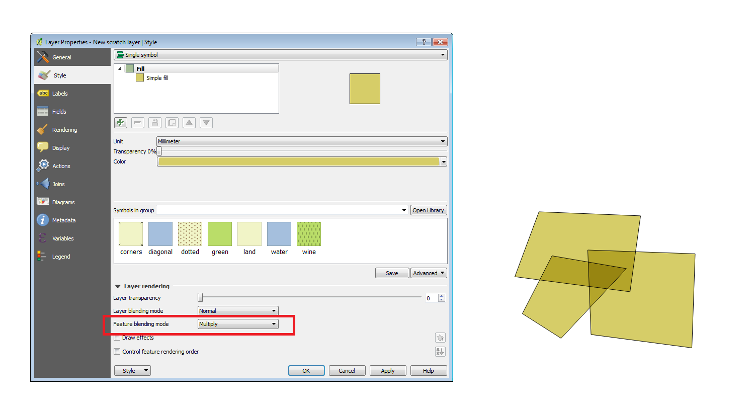
If you just want to view the other polygons then the easiest method would be to set the 'Feature blending mode' to 'Multiply', found under the layer properties style tab.polygons with multiply feature blending

Alternatively change the fill style transparency or remove the fill altogether.

0
2

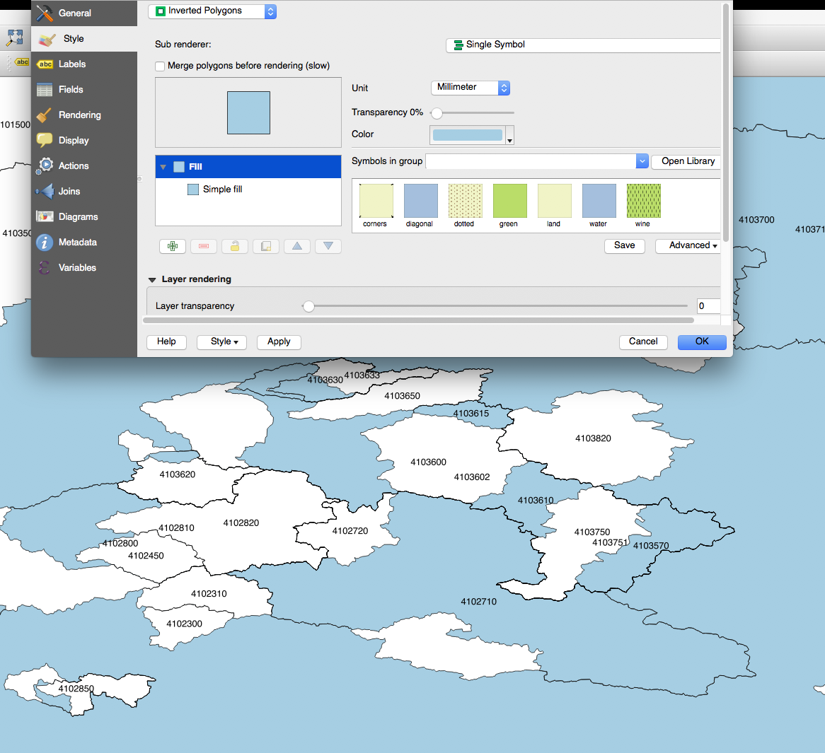
Ok, it seems that the function Style -> Inverted Polygons works for my purpose.

enter image description here

thanks

Your Answer

By clicking “Post Your Answer”, you agree to our terms of service and acknowledge you have read our privacy policy.

Not the answer you're looking for? Browse other questions tagged or ask your own question.