I have two polygon shapefiles (parcel and zoning). Parcel shapefile is overlapped by zoning shapefile. Parcel layer does not contain information about zone and I want to add that information to each parcel from zoning shapefile.
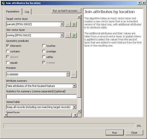
My idea is to create centroids from parcel shapefiles and after that to join zoning shapefile by location. On that way, I will add zoning attributes in my centroid point file. When I finish that I will join by location that point file and my parcel file. Unnecessary fields could be deleted after that.
I need to know is there any faster way to finish this job in QGIS?
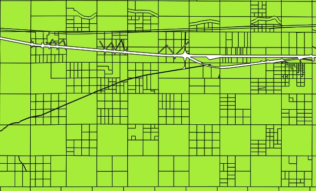
This is a screenshot of a part of my parcel shapefile:

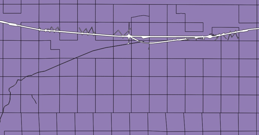
This is a screenshot of a part of my zoning shapefile:

Just to note that this is a very large data, about 800000 parcels.

