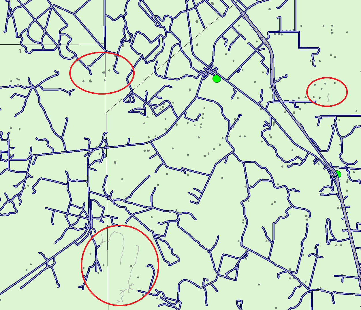
For many months I have been looking to get the distance from certain incidents/origins (wells) to the nearest facilities/destinations (rail car terminals) by road (trucking).
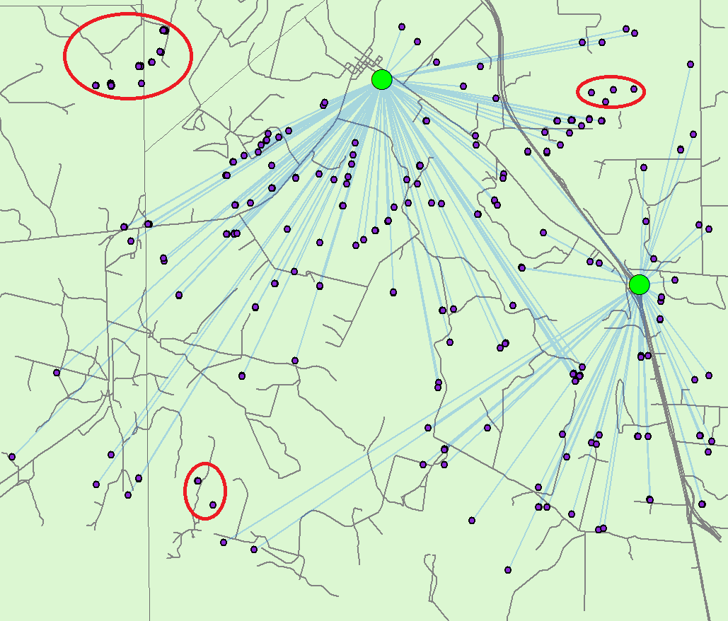
I have used Closest Facility Analyst and OD Cost Matrix but am hitting the same bump. Around 20% of the wells snap to "island" road network lines that do not ultimately route to any facilities/destination I need.
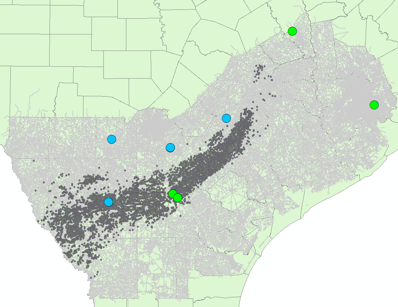
I have hundreds of thousands of roads that span southern Texas, downloaded from open street maps Geofabrik. I have approximately 15,000 wells.
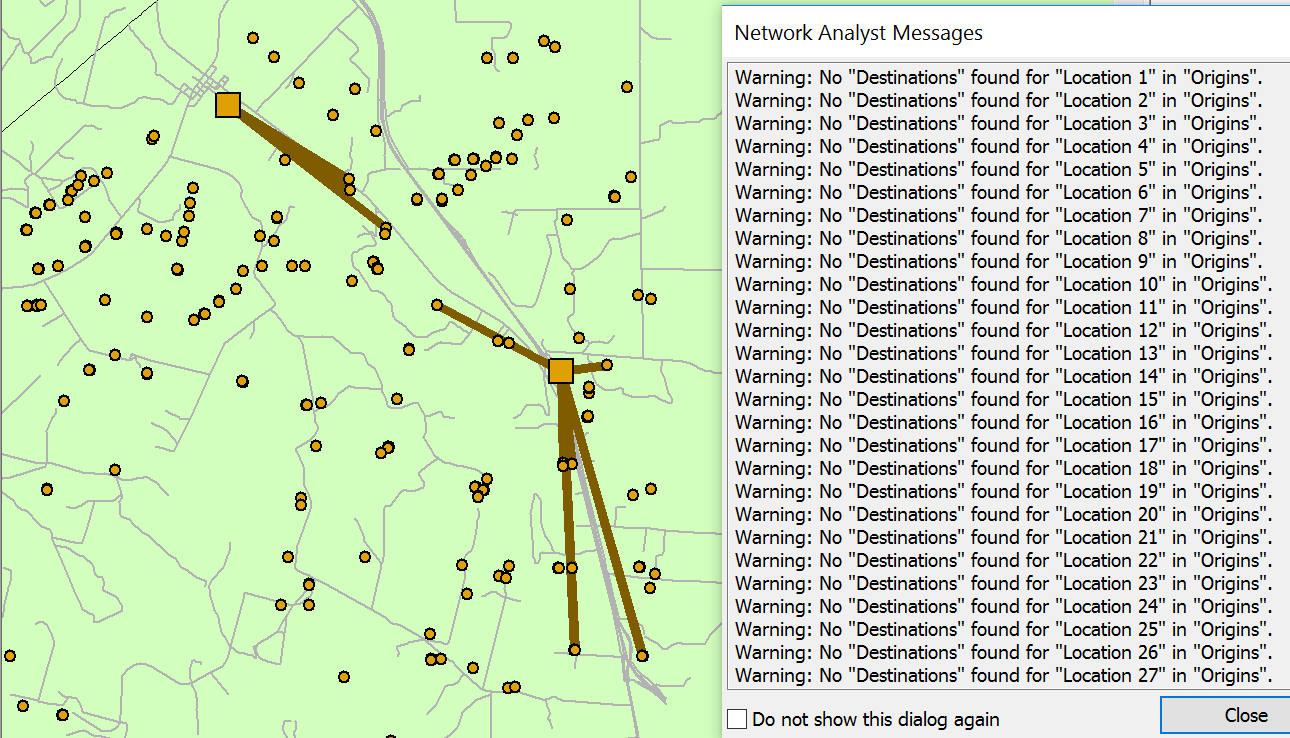
Below you will see the results of an OD Cost Matrix on a selection of the data. Very few points route to the 2 facilities shown. This is using "end-point" network connectivity on the roads.
I also attempted with "any-vertex" connectivity but of course this problem does not help with the stranded islands, of which there are thousands. Even if I dissolve the lines and attempt to use the single largest "continent" (see an older question of mine Network Analyst's Closest Facility - starting from route-possible road segments) I am still left with hundreds of thousands of road islands. The number of road features only drops from 460,000 to 350,000 after this dissolve method.
How would you approach this problem?

