I'm trying to find Open Data DEMs for a couple of personal mapping projects, for the following areas:-
- Faroe Islands
- Svalbard (Longyearbyen)
Ideally, with 100m resolution or better.
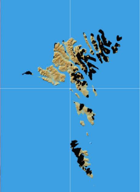
I normally use SRTM (using the Python elevation library), but the SRTM data only covers the southern half of the Faroe Islands. (SRTM only covers 60S to 60N).
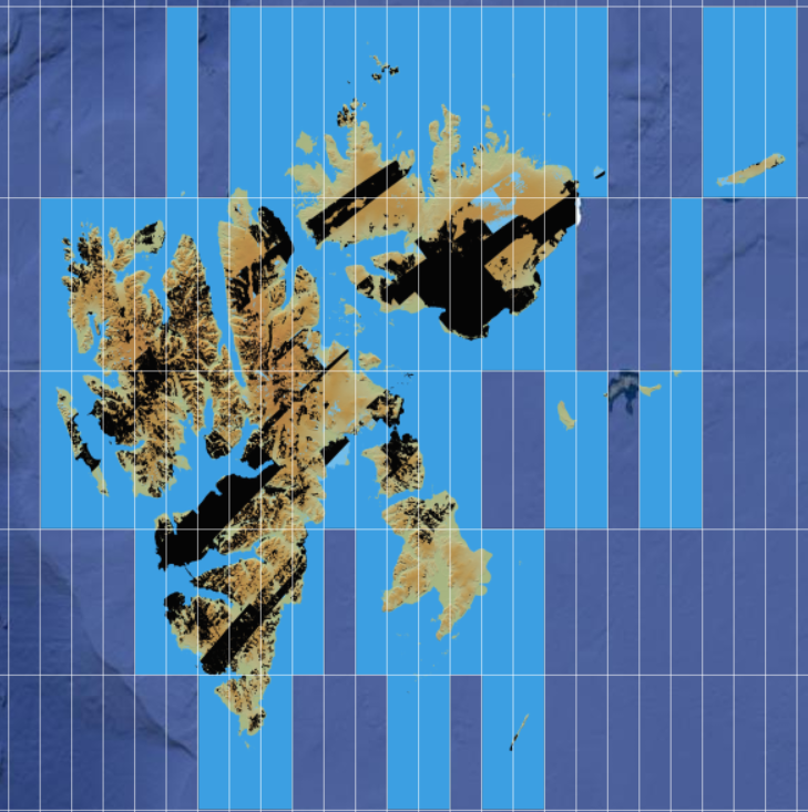
For Svalbard, I had a look at Norway's Kartverket map portal, but even at the lowest resolution, the coverage seems to be restricted to the Norwegian mainland
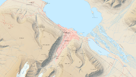
I've found a nice relief map of Longyearbyen here in JPEG2000 format, but it's not a DEM.
Is there an open data DEM for these areas? I've had a look on OpenData but not seen anything there..


