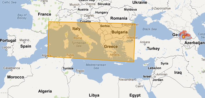
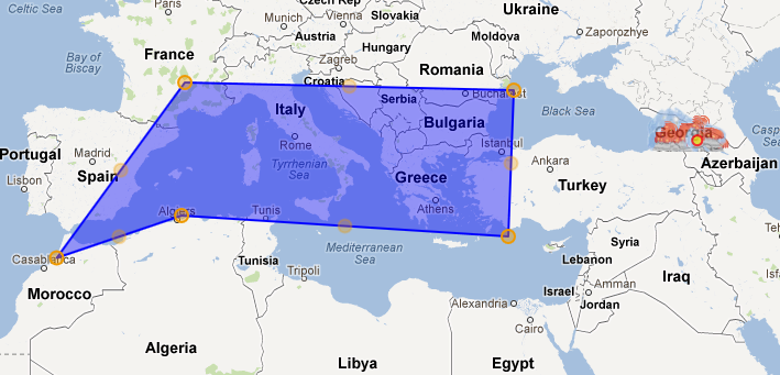
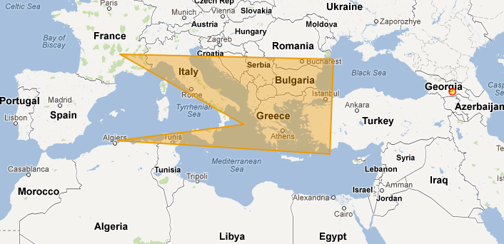
map projection is EPSG:900913, displayprojection for map EPSG:4326. vector layer is polygonLayer = new OpenLayers.Layer.Vector("Polygon Layer"); with draw polygoon option
with following code I get CQL_FILTER
var myLatLonSquare = polygonLayer.features[0].geometry.transform(new OpenLayers.Projection("EPSG:4326"), new OpenLayers.Projection("EPSG:4326"));

var testArray = "WITHIN(GEOM, ";

testArray = testArray + myLatLonSquare;

testArray = testArray.replace("MULTIPOLYGON(", "POLYGON");

antennaLayer.mergeNewParams({
    "CQL_FILTER": testArray
});
as it's shown on the images(the site does not let me to upload images yet) it gets different location coordinates. How to solve it?
UPDATED:


