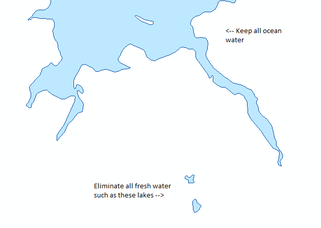
I have a "water bodies" shapefile. Technically there is no land to the shapefile, nonetheless the effect of visible land is produced (everything that isn't ocean). Problem is, because it is a "water bodies" shapefile it also includes lakes, which essentially appear as 'orphaned' polygons outside the larger ocean.
What is the simplest way to produce a shapefile where all lakes are eliminated? (See screen shot below) I should also say I'm using ArcMap 10.2.

