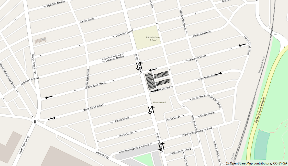
I am making a small size map with QGIS. I need to mark the parking areas in three streets in Philadelphia: 54th street, Residential street and Berks street.
I was wondering, is there a way to get the locations of these parking areas?
Maybe it can be download in a similar way to the one that is used to download street and buildings layer from OSM?
I could not find this data in the OSM plugins that I am using in QGIS: OSMDownloader and osmSearch.
If it is of any help, here is the map area and the streets are marked with arrows.

