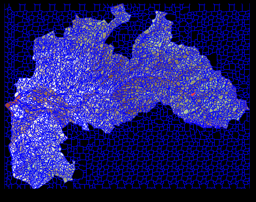
I have Landsat 5-8 images, and after creating subset for the area of interest there is an empty border on the image as black part. How to remove it or how to create subset without it? Here is the view of the subset image after multiresolution segmentation that shows there were segmented the empty part of image, too (black part beside the image):
-
1Set your NoData value to whatever the black is (probably 0). How you do that depends on your software. Images must be rectangular, the area outside what is considered 'data' is 'nodata' which is usually ignored when processing, again software dependent.– Michael StimsonCommented Nov 8, 2017 at 23:56
-
1I agree with @MichaelStimson, setting NoData in one software package does not necessarily mean other software packages will honor those NoData values. In eCognition, you would simply add a rule to, for example, select all intensity values greater than 0.001 (or something similar). Then all your border pixels will not be part of the classification.– Aaron ♦Commented Nov 9, 2017 at 3:56
Add a comment
|
1 Answer
There is the option to assign a certain value (which you can define e.eg. while exporting data from ArcGIS) as NoData once you start a new project and select the image you want to work on. See User Guide ecognition 9.0 - "6.2.4 Assigning No-Data Values"

