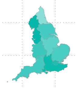
We have obtained boundary line data for England from the Office for National Statistics portal, which displays English regions like:
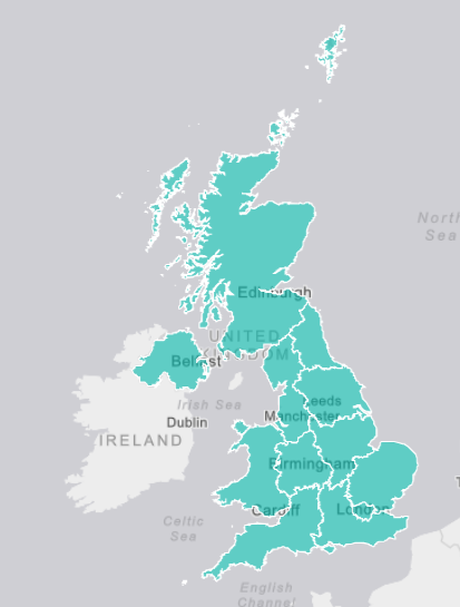
We want boundary line data for regions within the United Kingdom. So the English regions and also the following countries:
- Scotland,
- Wales,
- Northern Ireland.
So to display something like this:
I would like help with where to source appropriate boundary line data/shape maps? Or the Best method of combining existing files into one map?


