I am trying to georeference an old scanned map. I divided the scan in several parts. The original map uses an uncommon coordinate system (Equidistant Conic Projection according to De L'isle with Parallel lines at 50° and 53°), which I tried to manually create by using the following proj4 code:
Proj4: +proj=eqdc +lat_0=30 +lon_0=10 +lat_1=50 +lat_2=53 +x_0=0 +y_0=0 +ellps=intl +units:m +no_defs
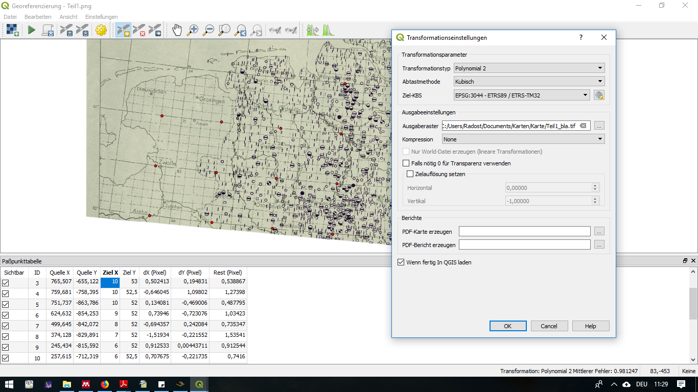
To georeference the map, I used the qgis georeference plugin. However, something seems to go wrong in processing the coordinates. I entered the coordinates in degrees and used the following transformation settings (sorry in German, problem still occurs when changing to other coordinate systems):  .
.
Below in the picture you can see the coordinate format (does this seem correctly specified?).
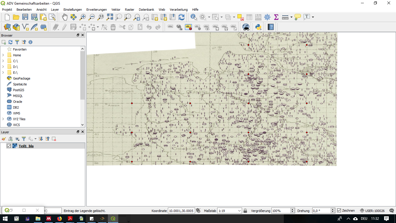
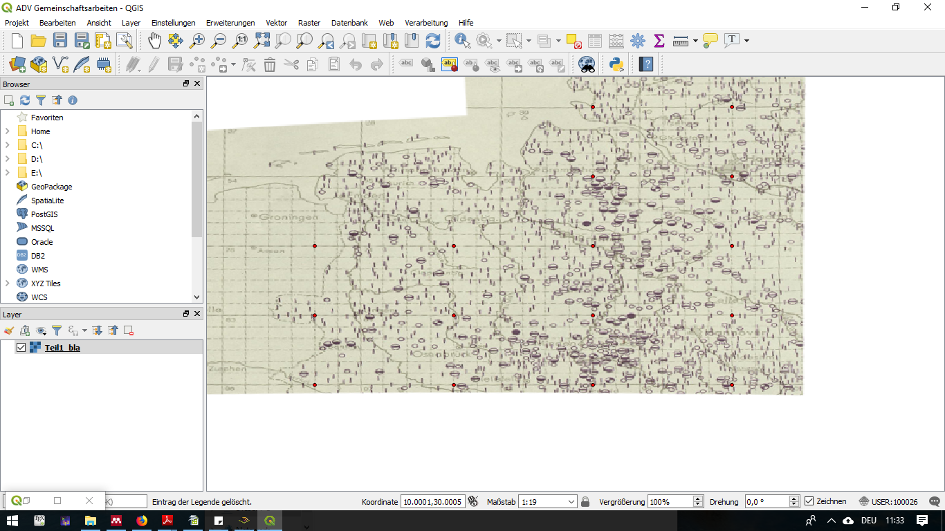
When I now run the georeferencing, and load the result into qgis, it does not display the coordinates correctly. In particular (compare mouse position/coordinate change), it seems that the picture is shrinked (no change in coordinates when mousing over the picture). Coordinates are displayed in Decimal Degrees. The pictures display two different mouse positions on the map.
What am I doing wrong?
I am a beginner in this field.


target CRSin the dialogue box of the first image. So try EPSG:4258 there.