I learned on ArcGIS, and I'm familiarizing myself with the use of QGIS. So far I love it, but the process of re-projecting and transforming datums seems less intuitive than in Arc.
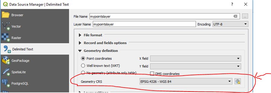
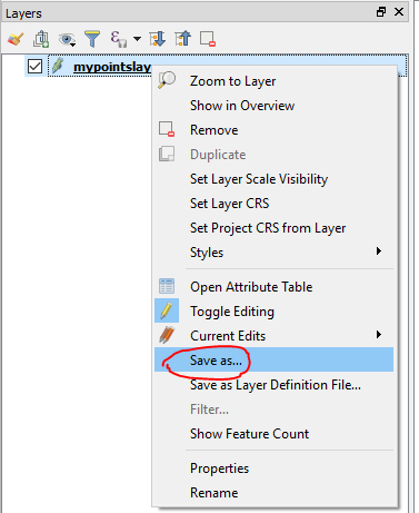
I recently geocoded 63 locations, pulled in the csv and transformed into a points shapefile. I then set the projection for that points layer as the same for my block groups multi-polygon (EPSG 102121- NAD_1983_Michigan_GeoRef_Feet_US).
The 2 layers are still misaligned, even if I save each layer with the specified projection and try to reopen in a blank project. Can anyone help?


