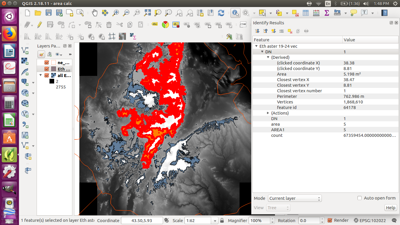
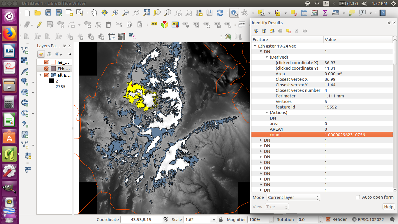
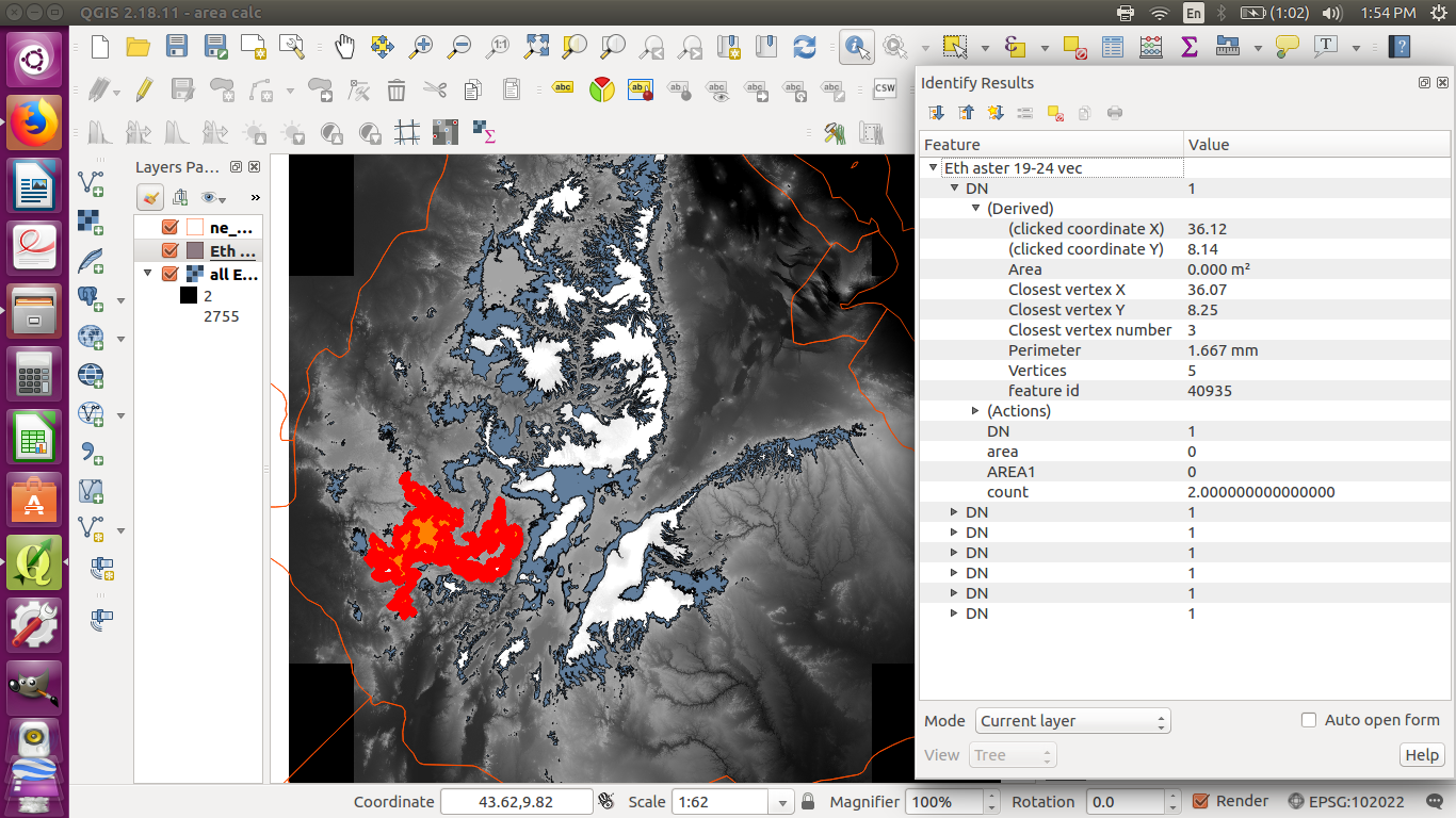
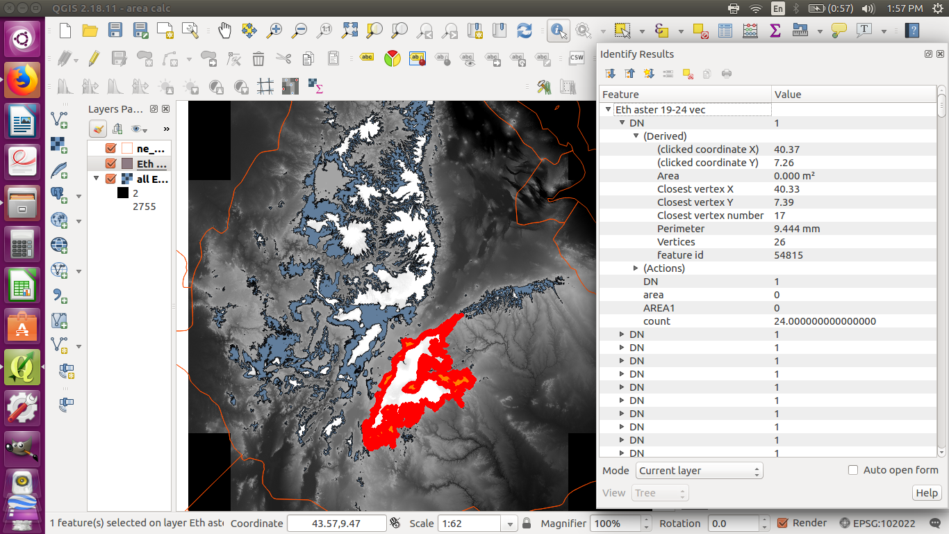
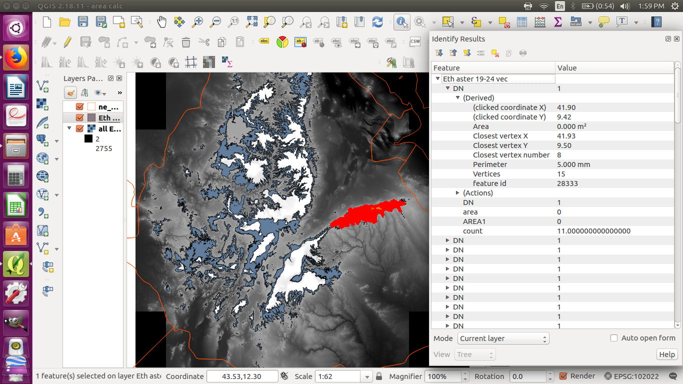
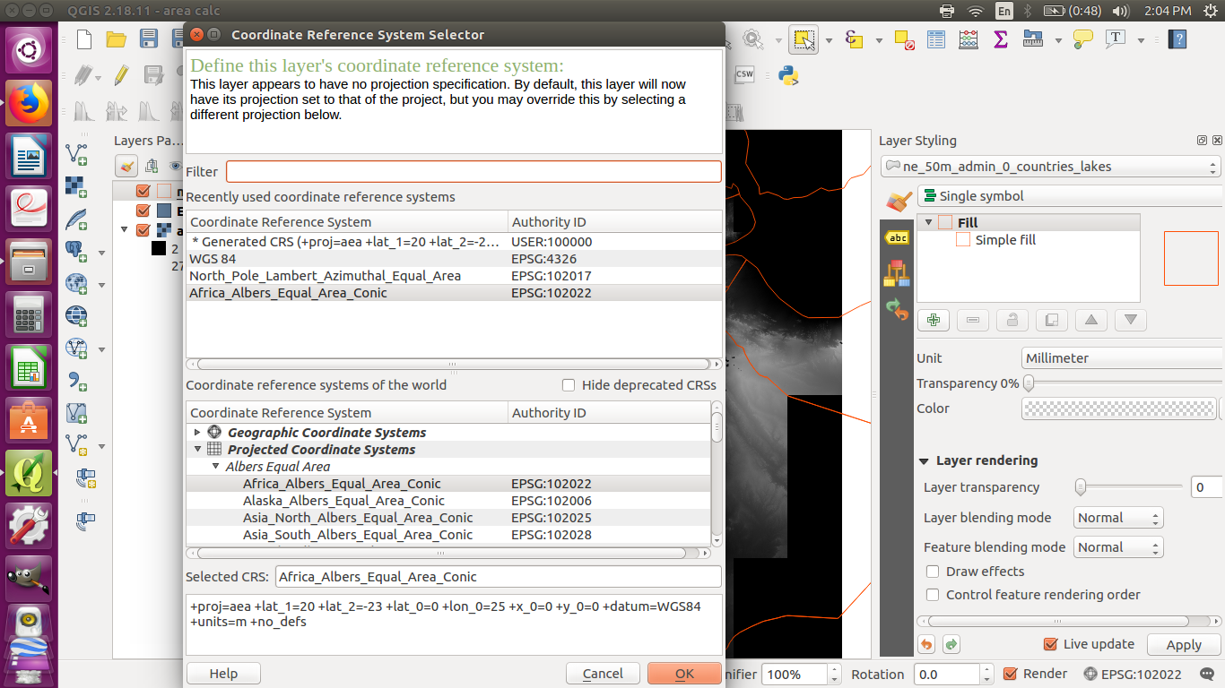
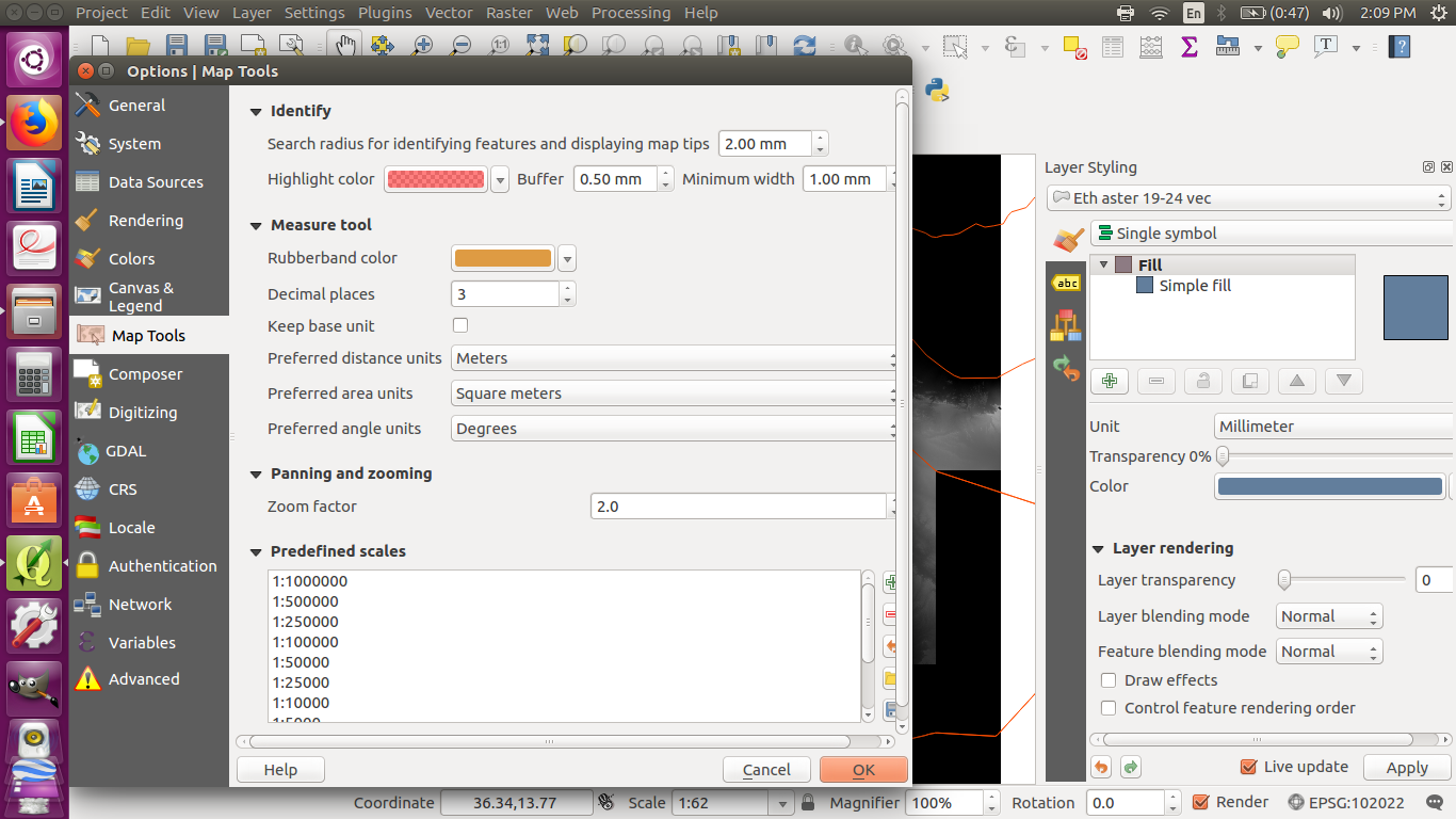
I made a shapefile from a DEM raster of Ethiopia, and I want to find the total area of the shapefile. I have changed the CRS of all files to Africa_Albers_Equal_Area_Conic (ESPG: 102022), and the units are meters. I have tried using the field calculator, but the answers are very small. I have also used the identify features tool, and the answers are the same as the field calculator's.
I also used "count" in the field calculator to get the number of pixels, but these sometimes seem very small too. The pixel size is 0.000277778,-0.000277778, but I don't know what the units are, so I am not sure how to use that to find the area.
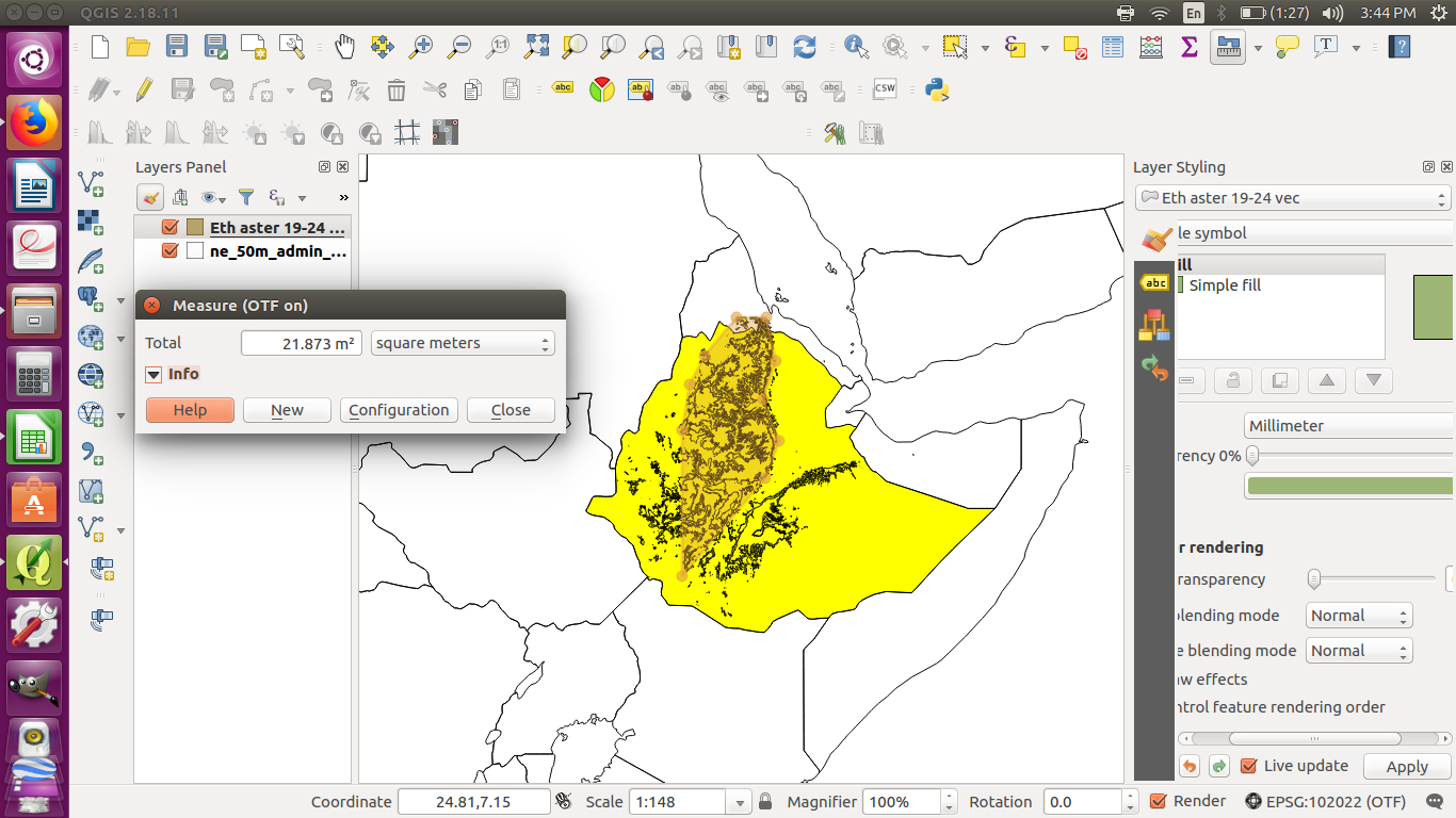
I tried using the measure area tool where you draw a polygon, but this gave a very small answer too.
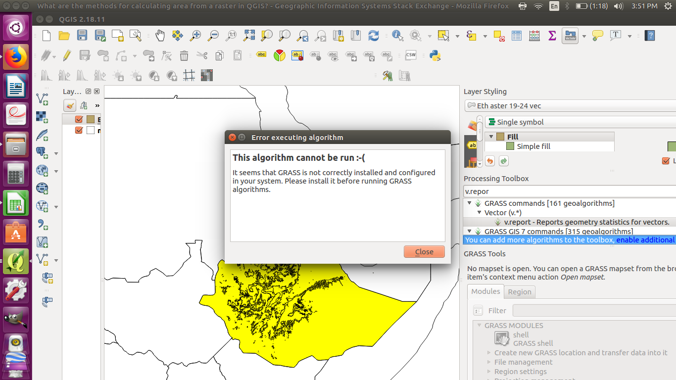
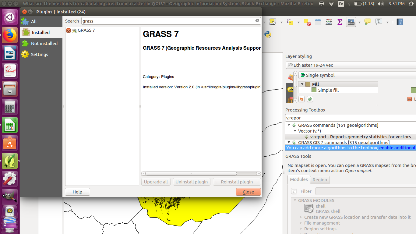
I read there might be a way to do it with GRASS, but I have a problem with my GRASS plugin which I don't understand.
