I am using ArcGIS Desktop 10.0.
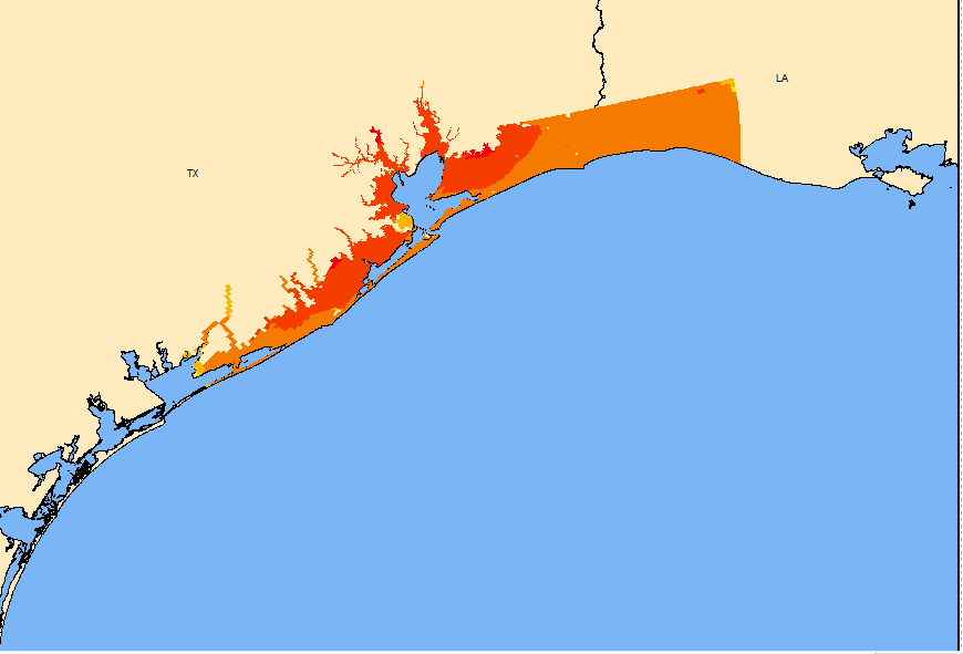
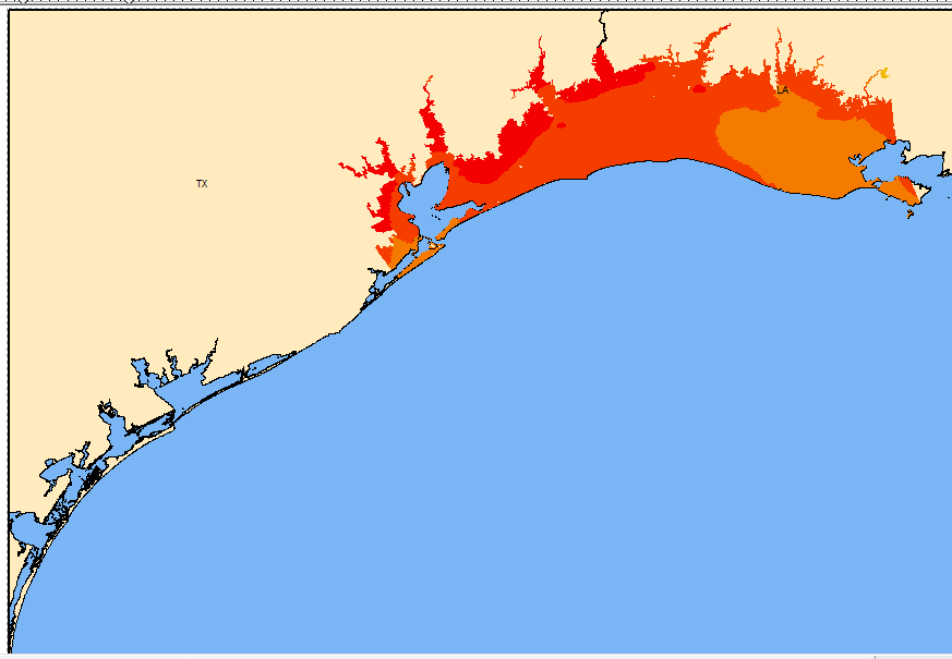
I have two polygon layers showing storm surge and I want them both to be combined to look like a smooth transition into each other. However, they have an overlap and it makes the appearance of them poor if they are combined using merge or union.
Would it be easier to convert them into rasters and perform a calculation through that?


