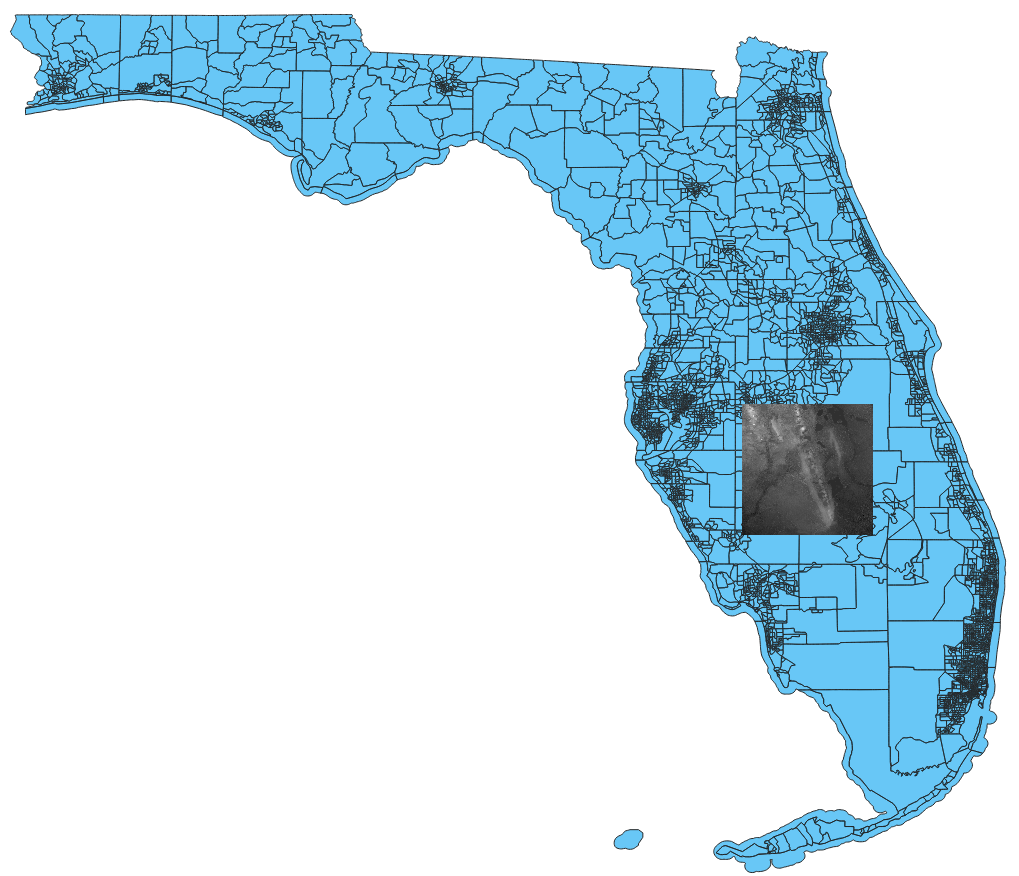
I downloaded a GeoTIFF DEM from EarthExplorer and loaded it onto QGIS. This GeoTIFF is of the state of Florida. I have a shapefile (polygon) of the state and want to overlap it with the raster file so people can see where Florida's outline rest on the DEM. However, when I put two of them into QGIS the Florida shapefile is so much larger than the raster image (it covers up the entire image).
Both of these files have the same coordinate system so I'm a little confused. Is there any way I can somehow shrink the polygon file to fit into the raster image to show the state?
Here is an image:


gdalinforeport (or the QGIS layer metadata as text) for the raster DEM andogrinforeport (or the QGIS layer metadata as text) for the shapefile. If you have changed the projection/CRS of either, include that information.