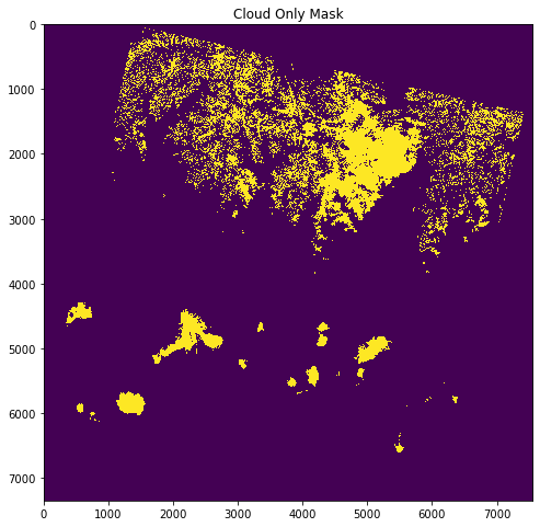
I'm working on satellite image processing, I'm calculating NDVI for time series analysis and vegetation prediction. I'm having a tough time removing the noisy data like,
- Cloud coverage
- Haze
- Cloud shadow
on Landsat-8 satellite image bands.
Is there any way to do this in Python?
I came across fmask package in python to mask cloud coverage but wasn't clear how to use it.
Then used pymakser but was only able to create a separate cloud mask file using BQA band of Landsat-8 but couldn't apply the mask on the image bands.
Finally tried using rio-cloud mask package but wasn't able to create the pre-requisite top of atmosphere reflectance for landsat-8 bands.
Also it'll be great if there's a method to just use the BQA band of Landsat-8 to remove noisy data from the TIF files using python.

