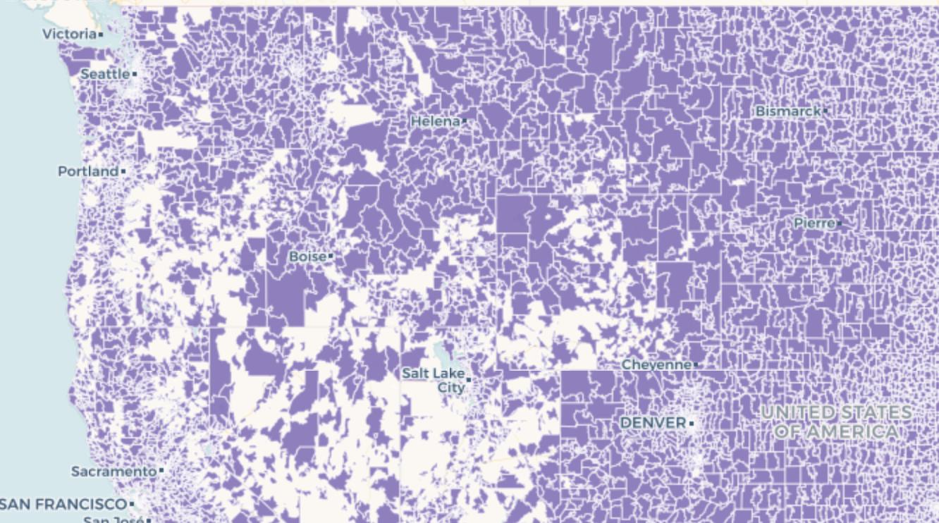
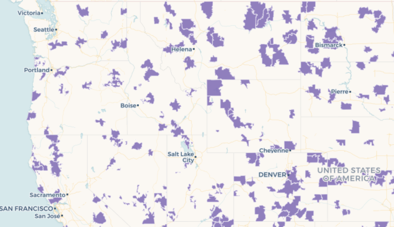
I am attempting to dissolve the boundaries between several polygons using a common attribute within a column in CARTO and the ST_Union function.
In my scenario, I have created a table for all US Zip Codes, & have given each Zip Code a value within a column called area_zip_r. I would like to dissolve/merge the polygon boundaries for all zip codes that share a common "area_zip_r" value, creating a single polygon for each value within "area_zip_r".
After some initial research and the help of this Stackexchange article I have come up with the following command which does dissolve/merge the polygons, but also leaves gaps of data for an unknown reason.
SELECT
  cartodb_id,
  area_zip_r,
  ST_union(the_geom_webmercator) as the_geom_webmercator
FROM
  {table_name}
GROUP BY
  area_zip_r,
  cartodb_id
Results: Many of the area_zip_r values are seen in the output with the desired effects, but I only see a small percent of the area_zip_r values I expect to see. I am returned with approximately 500 unique area_zip_r values when I expect 2000. This is verified when mapping the results. I've attached photographs to show the area my original table covers, and the results of my ST_Union command.
What am I doing wrong?


