I would like to define some business areas as a regular pattern within a polygon (e.g. I draw a polygon on a map and then create regular tiles of a certain length in it, while the tiles at the border are allowed to be cut).
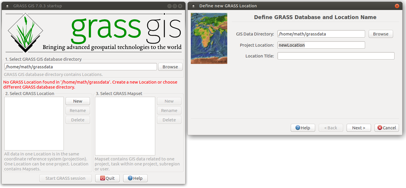
Having Ubuntu, I thought I give GRASS a try. But when I start it, the Location Wizard (see help) confuses me:
What is this "Project Location"? Is it something like "Germany" or something like "/home/foobar" or a string defining the usecase? What will it be used for?
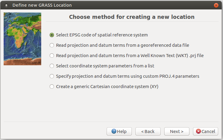
Then also the next dialogue:
Even with Wikipedia I'm not sure if I understand it:
EPSG compiled and disseminated the EPSG Geodetic Parameter Set, a widely used database of Earth ellipsoids, geodetic datums, geographic and projected coordinate systems, units of measurement, etc.
Isn't the Latitude / longitude (e.g. 48.858222N, 2.2945E for the Eiffel Tower in Paris) the default for geolocations? Is that the spatial reference system?
Beginners Learnings
- The "web default" reference system is called WSG84.
- A reference system defines a coordinate system (e.g. Ellipsoidal coordinates: latitude and longitude)
- It defines the shape of the earth: The 3 axes of the elipsoid
- It defines a reference: WGS84 is relative to North America (I don't remember where I read this and I can't find it any longer, but it makes sense that due to tectonic plate movement we have to define one plate that is kept at the same coordinates and the others coordinates change)


