I have a color infrared image of an agricultural field. The color infrared image contains 3 different bands; NIR, Red, and Green (order maintained here).
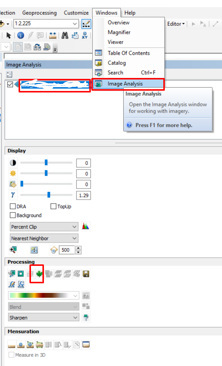
To calculate the NDVI, I am currently using the "Image Analysis" tool of ArcMap (shown below). 
However, I am writing a larger python script where calculating the NDVI from the color infrared image is a part. If I had two different single band rasters, I could have used the raster calculator. But, in this case, I only got one Color Infrared raster which contains 3 different bands. Is there any way to calculate the NDVI using the Color Infrared raster with ArcPy?
