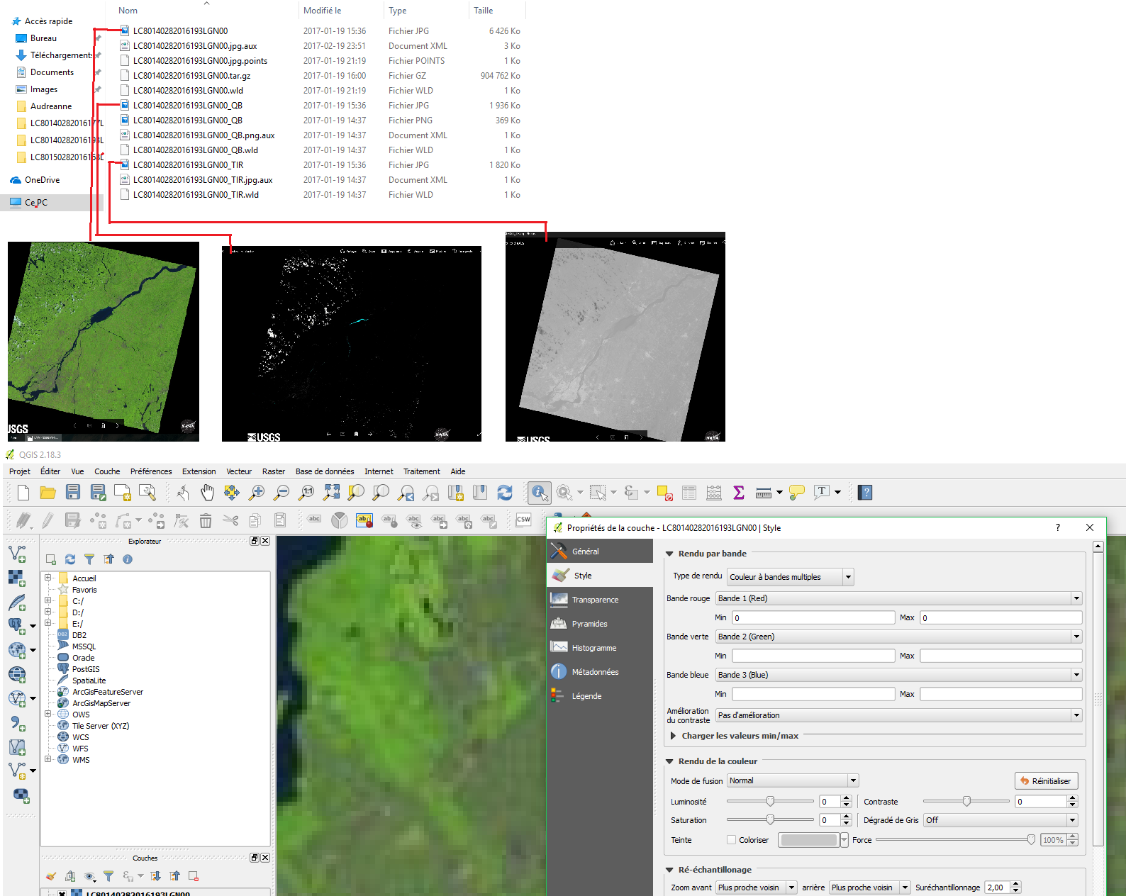
I am trying to calculate NDVI values for sites I sampled with landsat 8 imagery. The equation is simple : NDVI = (NIR band - Red band)/(NIR band + Red Band)
Now I understand that landsat 8 images have NIR on band 5 and Red on band 4.
I downloaded images from USGS and from there I do not know what to do. I can't find band 5 and 4.
What I have been doing is this : - Load a new raster layer with the jpeg files - Set the right CRS - Look in the properties... - Only see band 1, 2 and 3 which are red, green and blue
I figures that the file of which the name ends with .TIR (right grey-ish picture in my image) could be the infrared image?
I do not find any explanation on the web about the bands. I am probably not using the files right.
Can someone help me figure it out?

