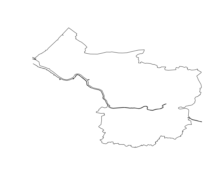
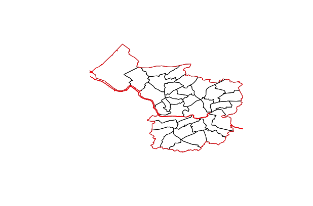
I am trying to plot a spatial object where only the outer boundaries/borders are plotted. The only way I can think to do this is by manually removing all the lines/points within the spatial object and leaving those for the outer borders in it, but I have no idea how I know which are which and wondered if there was a simpler way to do this.
The file I am using can be found here
The code I use to read this in and plot is:
m1<-geojson_read("topo_E06000023.json", what="sp")
plot(m1)
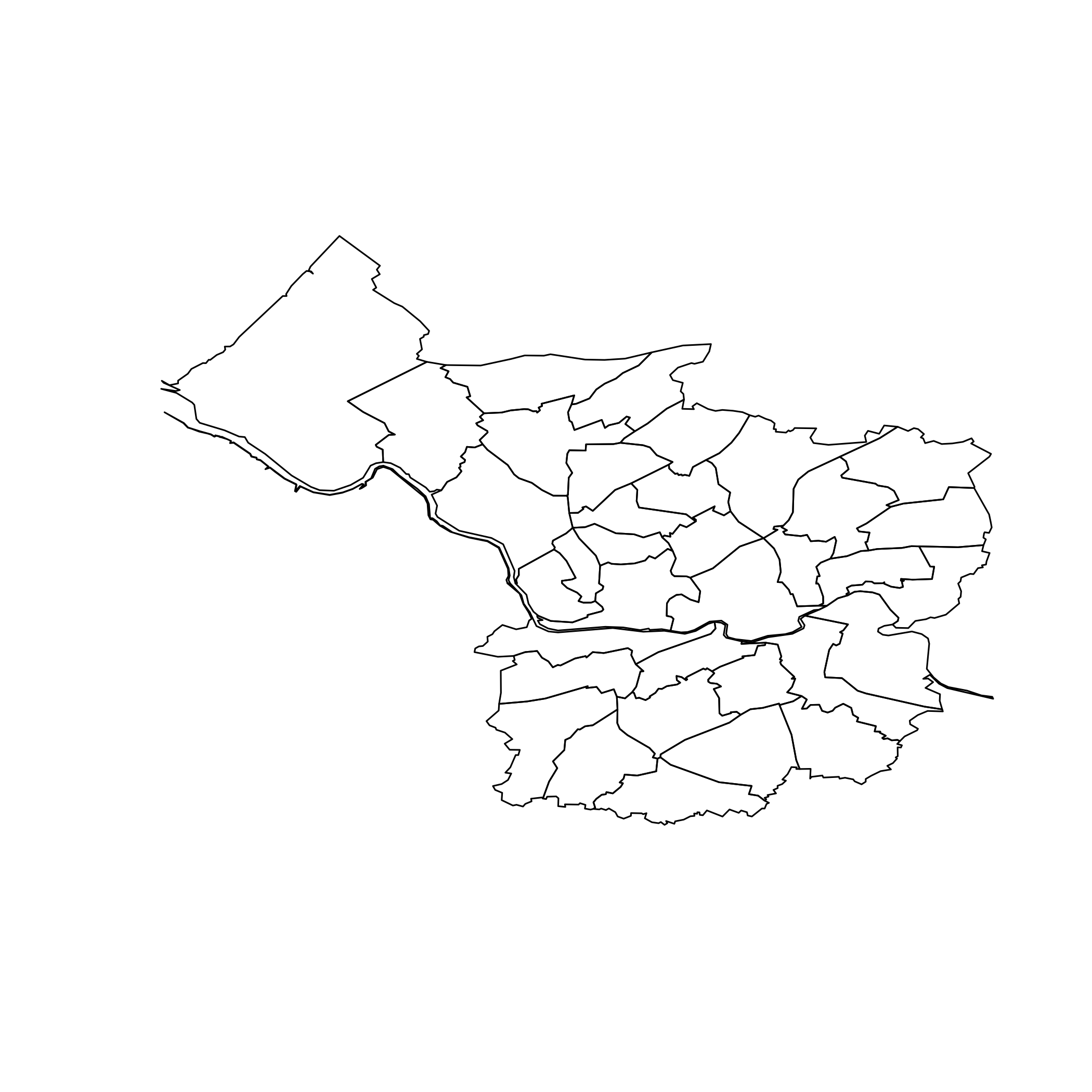
The object plotted is shown below and currently this shows all the lines/borders.


