I calculated the Slope of the area that I'm working on, and I was wondering if there is a way to calculate the actual percentage of each bracket, meaning the percentage of contribution of each class. The Slope is a floating point type of file and I cant convert it to polygon. Any advice could be helpful.
1 Answer
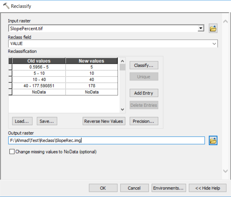
You can use Reclassify tool to reclassify your slope raster into the ranges you want. The Reclassify tool exists in ArcToolbox -> Spatial Analyst Tools -> Reclass -> Reclassify.
When you run the Reclassify tool, you need to rearrange the cell values as the following (the original slope values may look different in your case):
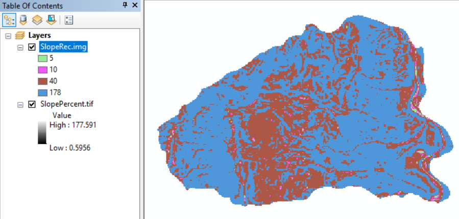
The output reclassified raster will as follows:
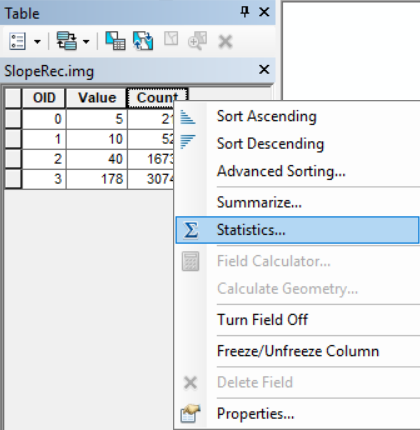
When you open the attribute table you will have three columns: OID, Value, and Count. Right-click the Count Column and go to Statistics:
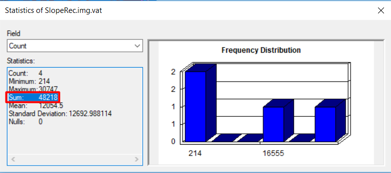
Look at the sum, this is the total number of cells with values:
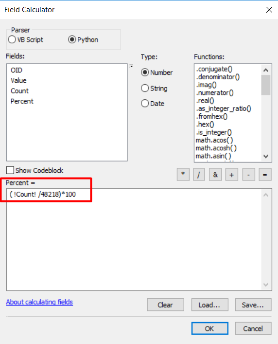
Copy the Sum value, then add a new column of type Double, name it Percent,and calculate the percentage of each class using Field Calculator:

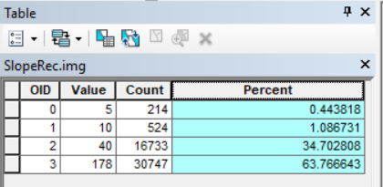
int(). This will allow you to create an attribute table and then its a simple matter of looking at the count against number of cells with values.