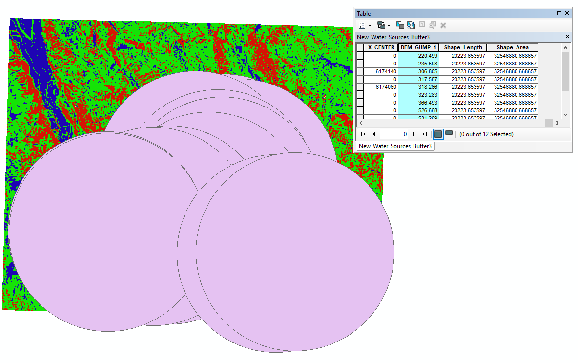
I have a shapefile that I am trying to convert to raster. The shapefile has overlapping polygons. I would like to keep the minumum value of these overlapping polygons when converting to raster.
Right now, when I use the Feature to Raster dataset within the 'To Raster' toolbox, it keeps the maximum of the overlapping polygons. Can I change this so it keeps the minimum?
Or will I have to clean up my shapefile to get rid of the overlapping areas.

