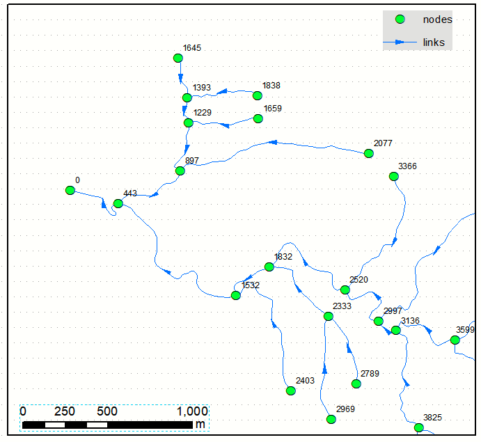
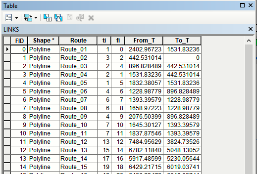
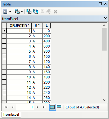
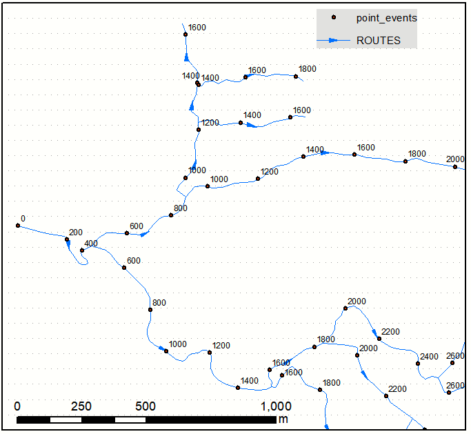
I am looking to generate points along a series of connected lines at regular intervals, but I wish to keep this interval even when a line is branching into 2 or 3 other lines. All the regular tools I tested in ArcMap or QGIS generate points on a feature basis meaning that the interval restart at each node.
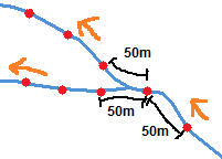
On the picture I drew road network (blue lines), direction flow (orange arrows) and desired points (red dots). The first point is at 50m from the beginning of the first line, then a second 50m further but then there is a node within the next 50m. The usual tools would then start "fresh" on the two branches but I want to keep the 50m distance between the last point before the node and the first point on each branch. How could this be done? I suppose some topology may be needed...
I am looking for a free solution, ideally with Python, QGIS, SAGA, GRASS, GDAL or alike. In last resort, I could use ArcMap.

