I am fairly new to GIS, and brand new to ArcGIS Pro (came from ArcMap).
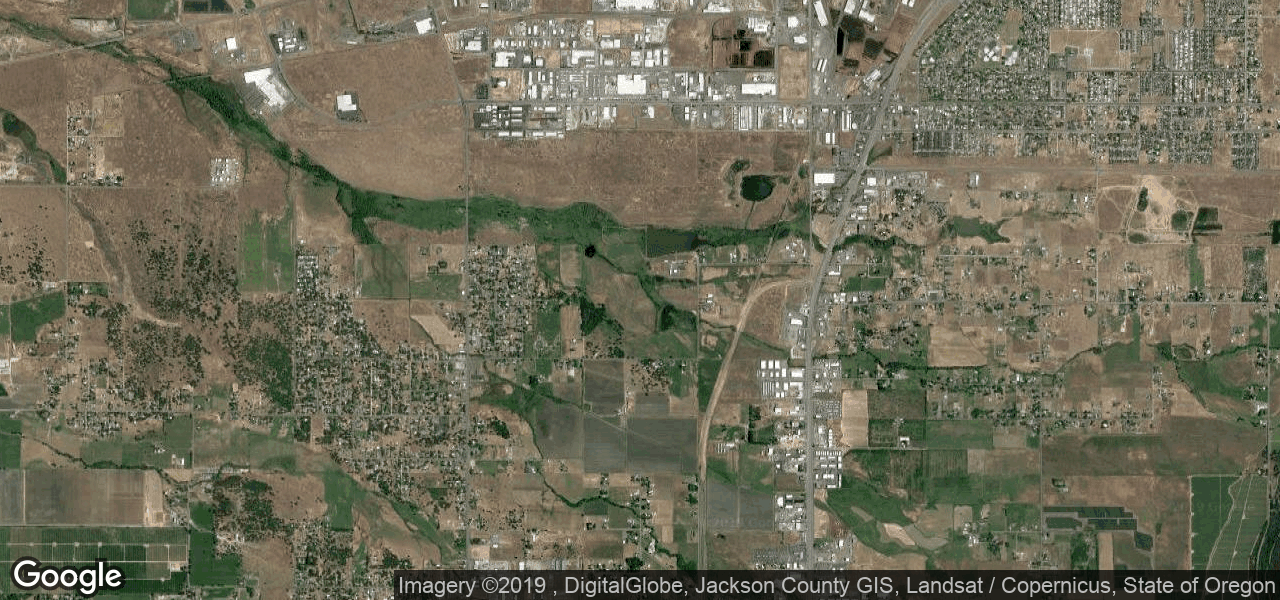
I recently created a visual basic program that generates an image from the Google Static Maps API with a respective ESRI world file (.PGW). Below is an example image with the corresponding world file:
0.000171661
0
0
-0.00012673
-122.8704705
42.4147755
The image is named "staticmap.png" and the world file is "staticmap.pgw", they are both saved in the same folder. Here are some of the things I've tried so far:
- Loading it in without the world file present, it loads in the Pacific Ocean.
- Assigning the Mercador Web Map and then loading the image with world file in my map, which results in it appearing outside of Africa (it should be in southern oregon).
- Deleting all references to the image / world file in ArcGIS Pro and regenerating both, loading into my map without a projection (It loads in the same spot it loaded without a world file present). This step convinced me that the program is ignoring my world file for some reason, maybe I wrote it incorrectly?
- Tried it in ArcMap with the same results.

