I am new to SAR image processing, I have a SAR sentinel 1 dataset downloaded from ESA site: S1A_IW_GRDH_1SDV_20190314T030905_20190314T030930_026328_02F196_2EC3
I am trying to do terrain correction via SNAP sentinel 1 toolbox using Range Doppler Terrain Correction.
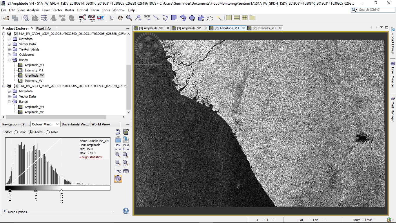
My Region of Interest (is a coastal area)
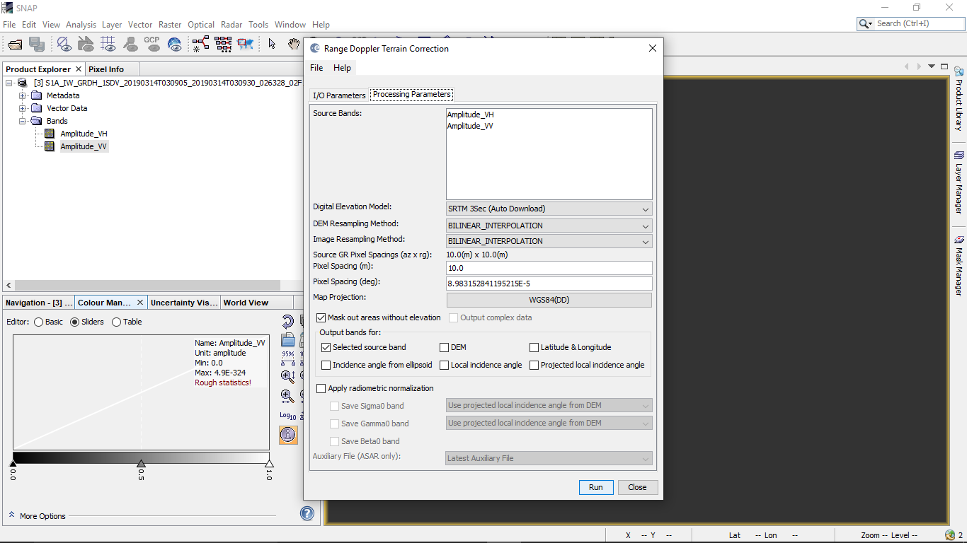
I try to perform Range Dopler Terrain Correction with the default parameters.
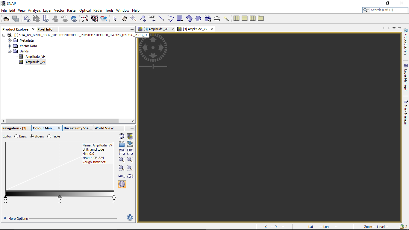
The result generated is a blank map where there are no values:
Am I missing something? I understand the SRTM data is use correct the terrain. However, since my data is near the coast and considering the accuracy limitations of the SRTM data is it removing the entire remote sensed values considering they all are below mean sea level?
Below are the parameters for Terrain Correction using Range Dopler Terrain Correction:


