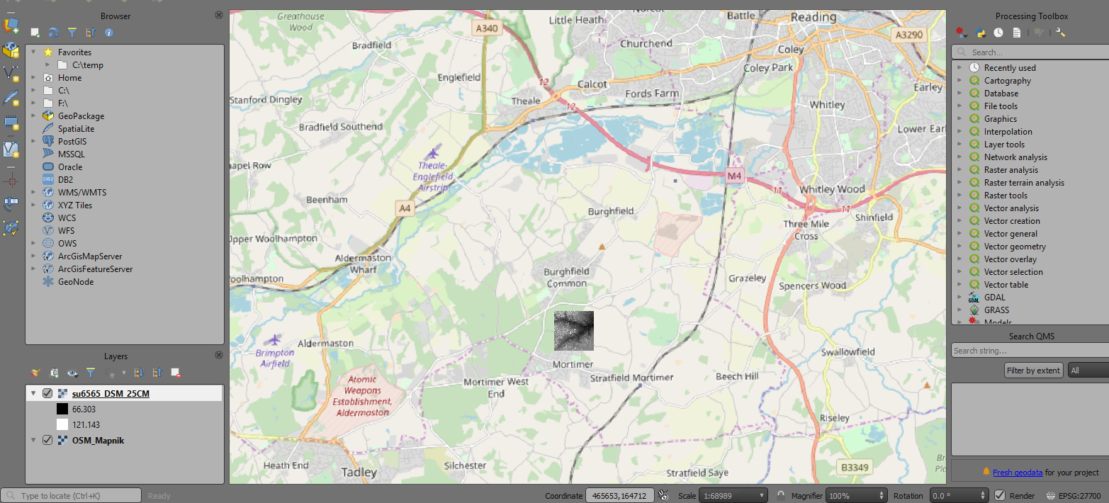
I have downloaded some LIDAR DSM composite tiles from https://environment.data.gov.uk/DefraDataDownload/?Mode=survey and opened them in QGIS 3.6 with project CRS set to OSGB 1936 (EPSG:27700).
However, the tiles are floating off the coast of West Africa, when I check the metadata for 'extent' there is none. Does anybody know how to fix this?


