This is actually fairly easy to do. I think others might have an easier solution but this is how I do it:
- Go to the Processing tab -> Graphical Modeler
 2. Under inputs, add raster layer two times. Name them "Day_Future" and "Day_Past". Make sure both are mandatory.

- Under algorithms, search for raster calculator and add it.

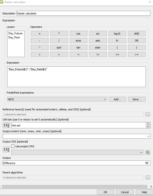
- Enter the parameters in the raster calculator window. Set the expression as "Day_Future@1" - "Day_Past@1". Set the reference layer as Day_Future and call the Output "Difference".
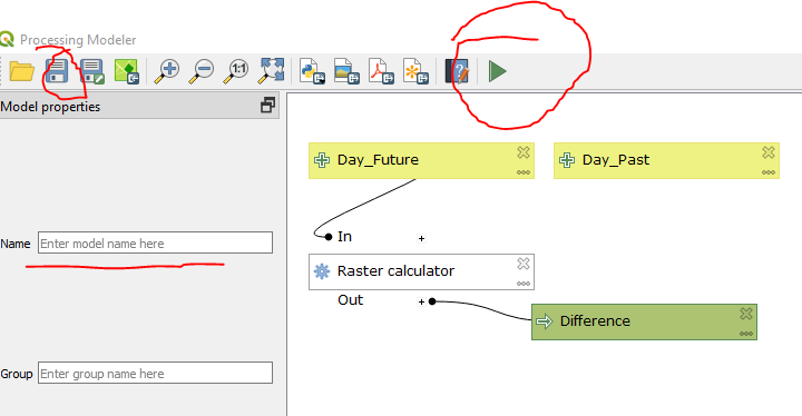
- Your model should look something like this. You can save this model if you would like to use it again in the future. Or you can hit the green run button to launch it.
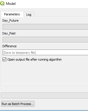
- When you hit run, this window will pop up. Hit "run as a batch process"
- Select all your grids in the first two columns from either the open layers or from your computer. You can select all the grids and that should make it easier to fill in this table.

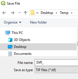
- Under the difference column, set your file name as "Diff_" and leave the file type as TIF. Hit save.
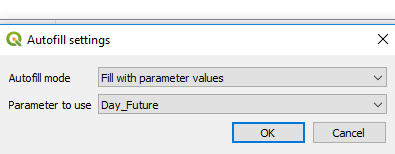
- Thats it, your table should be filled in. The file name should be filled in automatically. This can be editted later by either QGIS or other software. Hit Run and you are done :)
 2. Under inputs, add raster layer two times. Name them "Day_Future" and "Day_Past". Make sure both are mandatory.