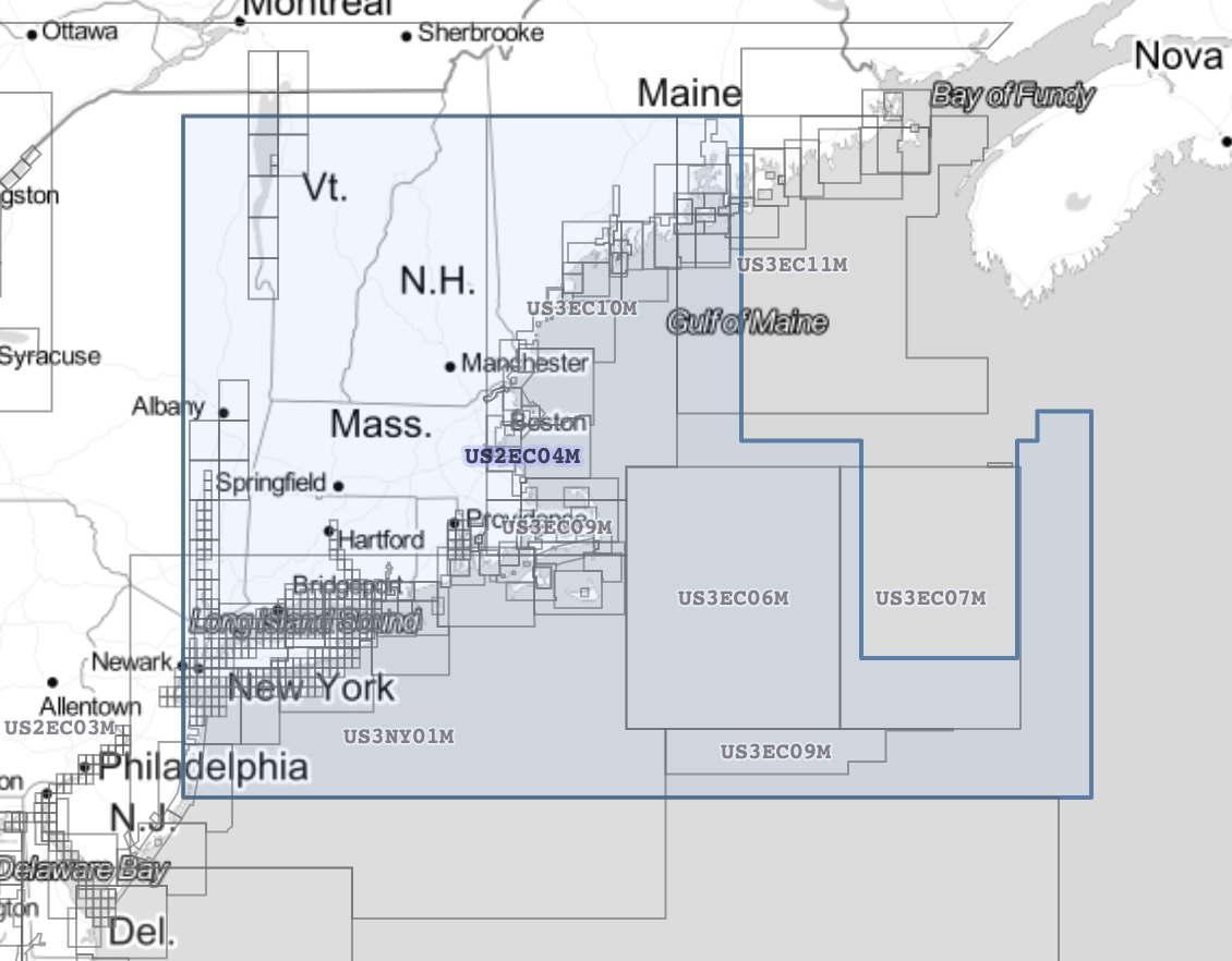
Is there some standard way of obtaining bounding box of an S-57 chart, e.g., for one downloaded from https://www.charts.noaa.gov/InteractiveCatalog/nrnc.shtml?
3 Answers
Each layer could have a different bounding box.
GDAL has support for S-57 and its ogrinfo tool can show you the bounding box per layer.
For example (with grep to filter out the relevant lines:
$ ogrinfo -so -al US5SC25M.000 | grep -E '(Layer name|Extent)'
Layer name: DSID
Layer name: ADMARE
Extent: (-79.902793, 32.503085) - (-79.357460, 32.807348)
Layer name: ACHARE
Extent: (-79.902793, 32.503085) - (-79.357460, 32.807348)
Layer name: BCNLAT
Extent: (-79.902793, 32.503085) - (-79.357460, 32.807348)
Layer name: BCNSPP
Extent: (-79.902793, 32.503085) - (-79.357460, 32.807348)
Layer name: BRIDGE
Extent: (-79.902793, 32.503085) - (-79.357460, 32.807348)
Layer name: BOYLAT
Extent: (-79.902793, 32.503085) - (-79.357460, 32.807348)
Layer name: BOYSAW
Extent: (-79.902793, 32.503085) - (-79.357460, 32.807348)
Layer name: BOYSPP
Extent: (-79.902793, 32.503085) - (-79.357460, 32.807348)
...
Another way to obtain the real map polygons which sometimes consist of more than 4 points is to visit the NOAA charts interactive map which displays them.
In the network console you will find a request to https://www.charts.noaa.gov/InteractiveCatalog/data/enc.json which consists of all maps including the coordinates which you can postprocess accordingly.
- Download the S-57 ENC file A.000.
- Convert the S-57 ENC file A.000 to shapefiles with ogr2ogr:
ogr2ogr -skipfailures -where "OGR_GEOMETRY='POLYGON' or OGR_GEOMETRY='MULTIPOLYGON'" -oo SPLIT_MULTIPOINT=ON -oo RETURN_LINKAGES=ON -oo LNAM_REFS=ON -mapFieldType StringList=String,IntegerList=String "OUTPUT DIRECTORY" A.000
- You will get many shapefiles in "OUTPUT DIRECTORY" and one of them is also M_COVR.shp, which is, by definiton, "A geographical area that describes the coverage and extent of spatial objects". This is what you are looking for!


