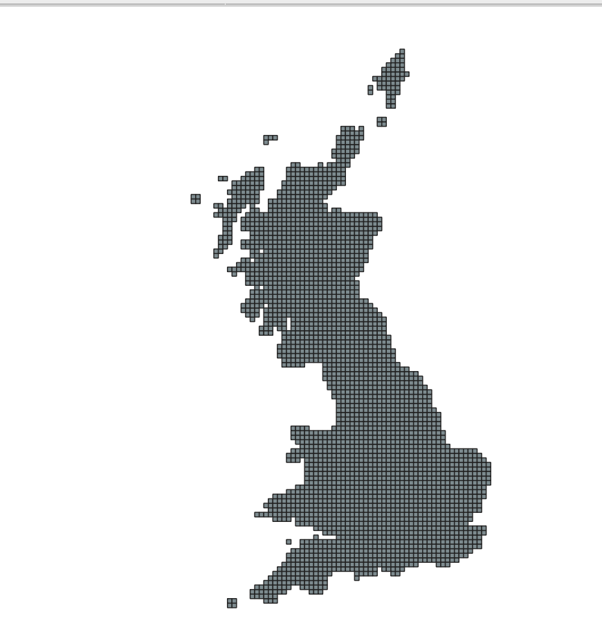
I am working with a shapefile of 10km grid regions of the UK obtained from digimap.
I need to convert this to a raster in order to do some analysis in R regarding agricultural intensity of 10km UK sites.
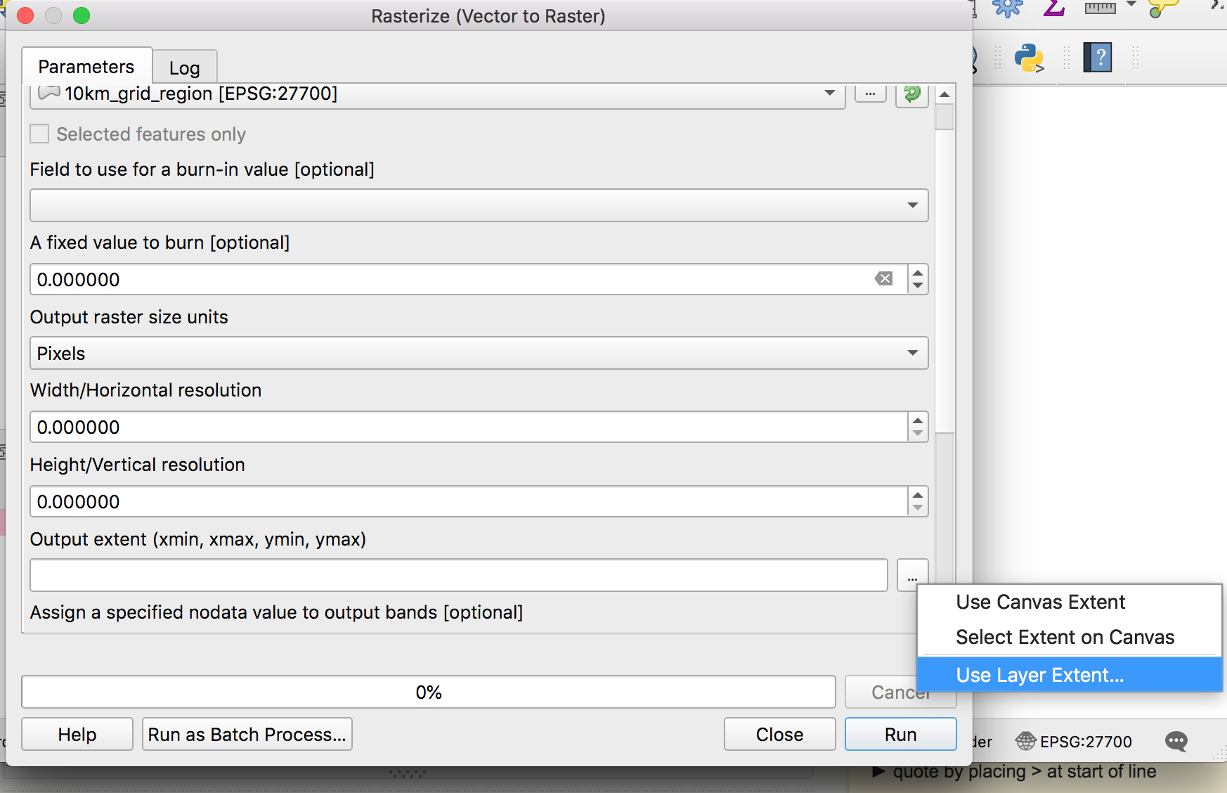
Everytime I load the vector file in QGIS and do raster->conversion -> rasterize I get an error which reads:
The following layers were not correctly generated.
- /private/var/folders/q3/vldvgpt970g5mn1y_46n4jjr0000gn/T/processing_cf35adc2256045b9b004c26c6ce46245/94b6409973714574a8226988cee87064/OUTPUT.tif
I know there are a lot of other questions about this but none of the answers have helped me to solve what I am trying to do.
Perhaps I am not inputting the correct parameters in the dialog box, could anyone help me with this? I've tried using layer extent and canvas extent in the output extent box and both have not worked.


