I'm looking to add traffic data linked to a polyline shapefile of road centerlines to a multipolygon shapefile of land parcels. I want to join this data using proximity to roads instead of by matching addresses to create the most accurate traffic data (i.e. if a parcel is addressed on a side road but is cornered on a major thoroughfare). Inevitably, many parcels will have multiple traffic data inputs since one parcel can be near multiple roads. Many road lines will also be sharing information with multiple parcels.
I created a buffer for the road centerline to overlap with parcels nearby. I then used the "Join attributes by location" to input traffic data onto the parcel shapefile. I selected the "one to many" feature to get all relevant traffic info onto each parcel polygon.
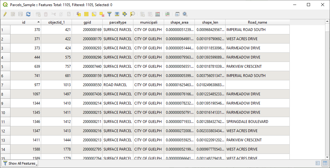
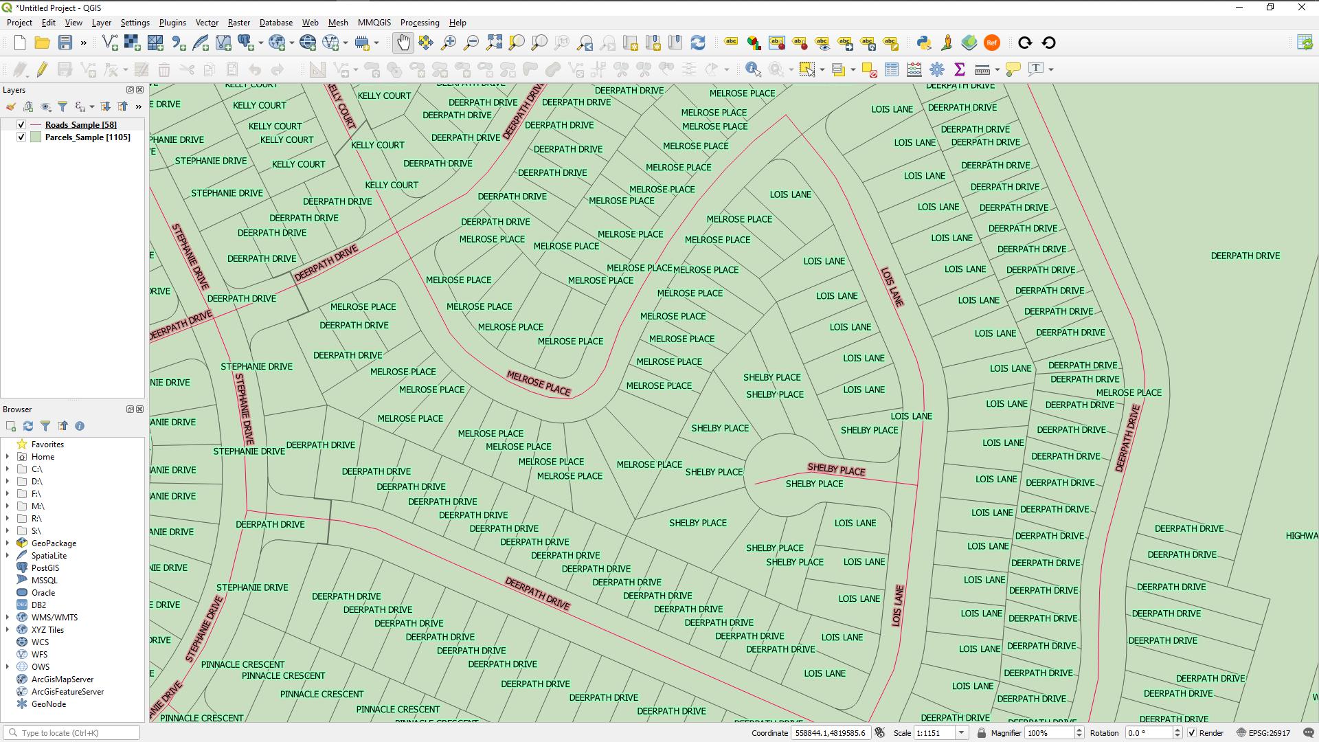
The join created several superimposed polygons for each parcel, each with different traffic data from a different individual neighboring road (which I feared would happen). This functionally works for my purposes but is very inefficient. The file is multiple times the size it needs to be and is delayed in loading with each pan/zoom action.
How can I converge multiple traffic data points into one polygon, instead of assigning one polygon per traffic data point?
One acceptable, but less than ideal, solution will be to only accept the polygon with the greatest traffic flow, but I'm unsure of how to filter and eliminate polygons in that way.

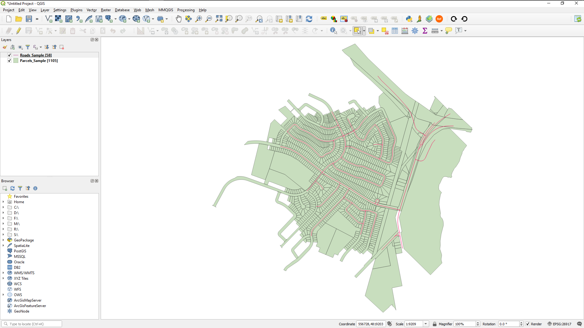
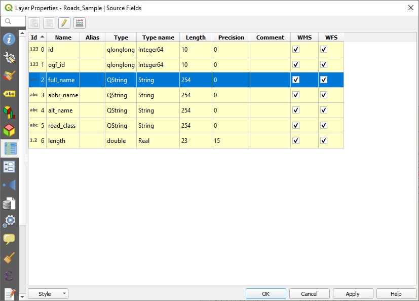
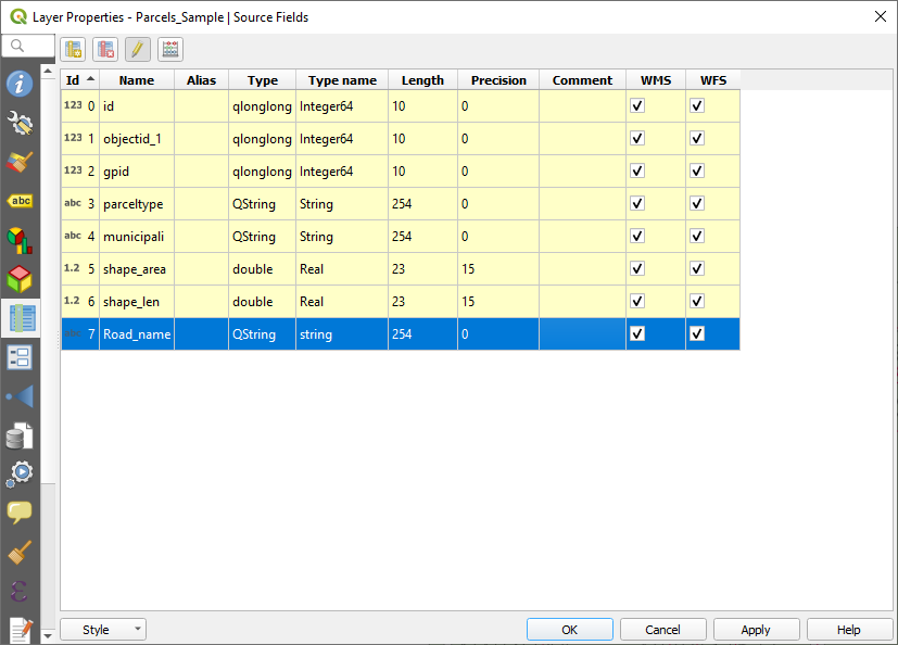
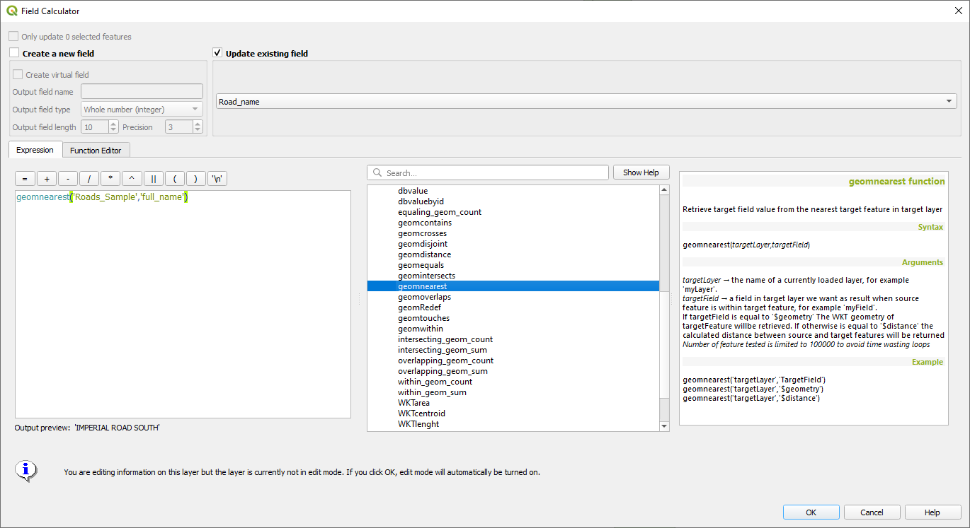
centroidstool to convert the multiple polygons into multiple points. That would render faster at least. Or look into setting up relations in your project: docs.qgis.org/3.4/en/docs/user_manual/working_with_vector/…