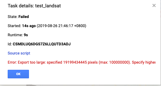
I am trying to get a complete Landsat image in Google Earth Engine, but the export shows some mistakes like this:

I have calculated the total pixel numbers and it is impossible to have such a huge amount of pixels: 7621X7761X4=236586324
The link of code is here:https://code.earthengine.google.com/38c19f74ee68ff44a0c2c22c0231cb87
I am wondering is there any wrong with this export code? And is there any way to output GeoTIFF image in patches like we export images in tfrecord?
Update:
Although I tried to set the maxPiexels to successfully export a Landsat image according to the suggestion from Sean, it still has some problems:
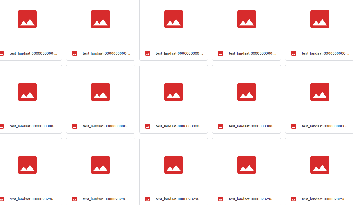
First, the exported data are automatically separated into some files and I do not know how:

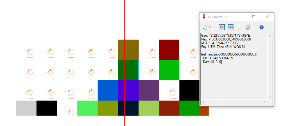
Second, when I downloaded all these images and open them in ENVI, the total size of these patches is not correct, and all values are 0.


